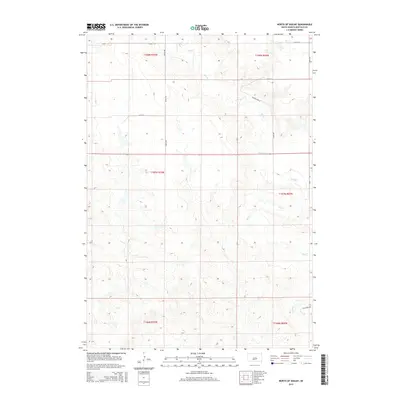
2015 Map of North of Shelby
USGS Topo · Published 2015About this map
Elm Cr meanders through the heart of Buffalo County in this 2015 U.S. Geological Survey representation of the South Dakota plains. The landscape is defined by the Public Land Survey System, with the boundaries of t107n r70w and t107n r69w intersecting near the creek’s winding course. This portion of the Crow Creek District shows a sparse network of section-line roads, such as 349th Ave and 352nd Ave, which provide access to the vast interior of Grant West Township. The topographical relief is dominated by the erosion patterns surrounding the creek bed, with local landmarks like Prairie Dog Ln and Elm Creek Dr marking the few named access points in an otherwise open, agricultural environment.
Find a feature on this map
15 named features on this map. Tap any name to fly to it.
Don’t see what you’re looking for? This feature index may not catch every label — zoom into the map to look around manually.
Map Details
Editions of this 2015 North of Shelby Map
This is the sole edition of this map. No revisions or reprints were ever made.
Other maps of this area

1935 · Chamberlain
USGS Topo · 1:62,500

1939 · Chamberlain
USGS Topo · 1:62,500

1941 · Pukwana
USGS Topo · 1:62,500

1951 · Pukwana
USGS Topo · 1:62,500

1953 · Huron
USGS Topo · 1:250,000

1954 · Huron
USGS Topo · 1:250,000

1955 · Mitchell
USGS Topo · 1:250,000

1959 · Mitchell
USGS Topo · 1:250,000

1966 · Big Bend Dam NE
USGS Topo · 1:24,000

1966 · Big Bend Dam SE
USGS Topo · 1:24,000
Featured Places
- Grant West Township, Crow Creek District
- Wilson Township, Crow Creek District
- Pershing Township, SD
- Grant East Township, SD
- Arlington Township, SD