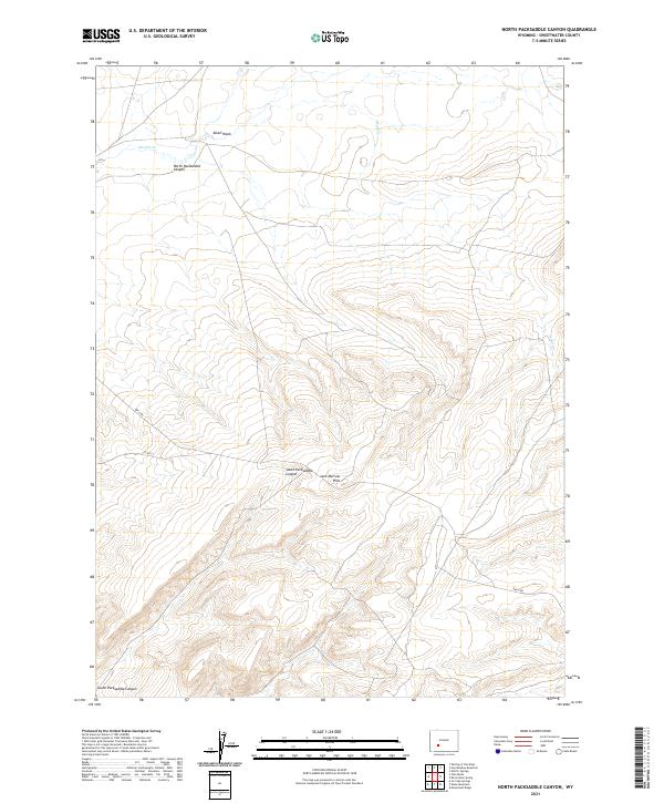
2021 Map of North Packsaddle Canyon
USGS Topo · Published 2021About this map
North Packsaddle Canyon and the surrounding high desert of Sweetwater County are defined by a complex network of seasonal drainages and uplifted terrain. This 2021 U.S. Geological Survey representation traces the path of Pacific Cr as it winds through the northern flats, while the southern portion of the map is dominated by the deeply incised South Packsaddle Canyon. The transition from the lower basins of Alkali Wash and Alkali Cr into the rising elevations of the Jack Morrow Hills illustrates the distinct topography of this part of the Red Desert region. Human activity is primarily visible through a sparse grid of secondary roads like Bar X Rd and Co Rd 21, which provide access through the vast public land sections managed under the Public Land Survey System.
Find a feature on this map
12 named features on this map. Tap any name to fly to it.
Don’t see what you’re looking for? This feature index may not catch every label — zoom into the map to look around manually.
Map Details
Editions of this 2021 North Packsaddle Canyon Map
This is the sole edition of this map. No revisions or reprints were ever made.
Other maps of this area

1955 · Lander
USGS Topo · 1:250,000

1958 · Lander
USGS Topo · 1:250,000

1958 · Parting of the Ways
USGS Topo · 1:62,500

1958 · Essex Mountain
USGS Topo · 1:62,500

1958 · Hay Meadow Reservoir
USGS Topo · 1:24,000

1958 · Tule Butte
USGS Topo · 1:24,000

1958 · Pacific Springs
USGS Topo · 1:24,000

1958 · Parting of the Ways
USGS Topo · 1:24,000

1958 · Freighter Gap
USGS Topo · 1:62,500

1961 · Lander
USGS Topo · 1:250,000