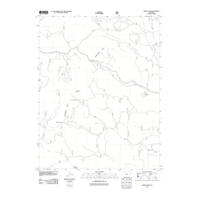
2011 Map of North Pass
USGS Topo · Published 2011About this map
North Pass and Cochetopa Pass serve as primary geographical anchors within the Cochetopa Hills, providing a detailed view of the high-elevation drainage systems in Saguache County. The terrain is defined by a dense network of seasonal and perennial waterways, including East Pass Creek, West Pass Creek, and Lujan Creek, which carve deep paths through the landscape. This 2011 survey highlights the intersection of natural topography and limited human infrastructure, such as Co Rd NN14 and Co Rd 24EE, which navigate the steep descents of Taylor Canyon and Rabbit Canyon. Settlement is sparse, represented by Mouds Bottom in the south, while recreational use of the forest is evidenced by the presence of Luders Creek Campground and Buffalo Pass Campground. The mapping reveals a complex hydrography where Cantonment Creek and Luders Creek converge, illustrating the rugged watershed characteristic of this part of the Continental Divide region.
Find a feature on this map
27 named features on this map. Tap any name to fly to it.
Don’t see what you’re looking for? This feature index may not catch every label — zoom into the map to look around manually.
Map Details
Editions of this 2011 North Pass Map
This is the sole edition of this map. No revisions or reprints were ever made.
Other maps of this area

1956 · Montrose
USGS Topo · 1:250,000
1959 · Montrose
USGS Topo · 1:250,000
1960 · Montrose
USGS Topo · 1:250,000
1962 · West Baldy
USGS Topo · 1:24,000
1962 · Razor Creek Dome
USGS Topo · 1:24,000
1967 · North Pass
USGS Topo · 1:24,000
1967 · Sargents Mesa
USGS Topo · 1:24,000
1967 · Trickle Mountain
USGS Topo · 1:24,000
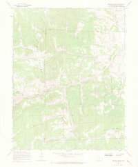
1967 · Grouse Creek
USGS Topo · 1:24,000
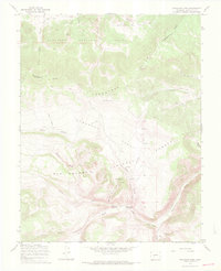
1967 · Saguache Park
USGS Topo · 1:24,000