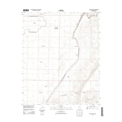
2013 Map of North Pasture
USGS Topo · Published 2013About this map
El Malpais National Monument dominates this high-desert landscape in Cibola County, where volcanic formations meet the rising cliffs of Cebollita Mesa. The map detail follows the path of NM-117 as it skirts the eastern edge of the lava beds, passing through The Narrows and beneath the significant La Ventana Natural Arch. This corridor represents a vital transition between the jagged terrain of The Malpais and the grazing lands of North Pasture.
Find a feature on this map
22 named features on this map. Tap any name to fly to it.
Don’t see what you’re looking for? This feature index may not catch every label — zoom into the map to look around manually.
Map Details
Editions of this 2013 North Pasture Map
This is the sole edition of this map. No revisions or reprints were ever made.
Other maps of this area
1917 · Broom Mountain
USGS Topo · 1:125,000

1954 · Saint Johns
USGS Topo · 1:250,000

1954 · Socorro
USGS Topo · 1:250,000

1957 · Saint Johns
USGS Topo · 1:250,000

1958 · Socorro
USGS Topo · 1:250,000

1958 · Saint Johns
USGS Topo · 1:250,000
1961 · North Pasture
USGS Topo · 1:24,000
1961 · Arrosa Ranch
USGS Topo · 1:24,000
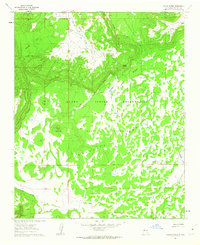
1961 · Laguna Honda
USGS Topo · 1:24,000
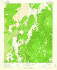
1961 · Los Pilares
USGS Topo · 1:24,000