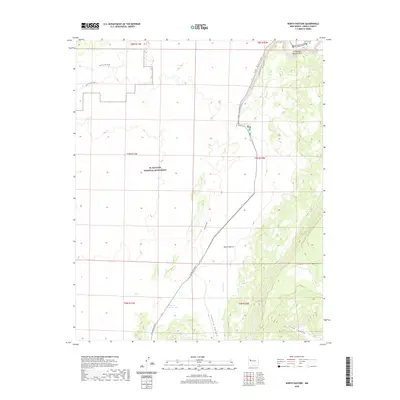
2020 Map of North Pasture
USGS Topo · Published 2020About this map
El Malpais National Monument preserves a stark volcanic landscape in Cibola County, where the high desert terrain transitions into the striking elevation of Cebollita Mesa. The modern infrastructure of El Malpais Road cuts through the valley, providing access to landmarks like the dramatic La Ventana Natural Arch and the restricted passage known as The Narrows.
Find a feature on this map
19 named features on this map. Tap any name to fly to it.
Don’t see what you’re looking for? This feature index may not catch every label — zoom into the map to look around manually.
Map Details
Editions of this 2020 North Pasture Map
This is the sole edition of this map. No revisions or reprints were ever made.
Other maps of this area
1917 · Broom Mountain
USGS Topo · 1:125,000

1954 · Saint Johns
USGS Topo · 1:250,000

1954 · Socorro
USGS Topo · 1:250,000

1957 · Saint Johns
USGS Topo · 1:250,000

1958 · Socorro
USGS Topo · 1:250,000

1958 · Saint Johns
USGS Topo · 1:250,000
1961 · North Pasture
USGS Topo · 1:24,000
1961 · Arrosa Ranch
USGS Topo · 1:24,000
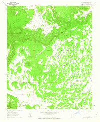
1961 · Laguna Honda
USGS Topo · 1:24,000
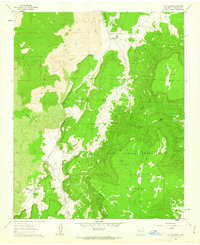
1961 · Los Pilares
USGS Topo · 1:24,000