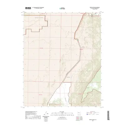
2023 Map of North Pasture
USGS Topo · Published 2023About this map
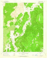
Cebolla Wilderness and the West Malpais Wilderness meet in this high-desert landscape of New Mexico, where the transition from volcanic flows to dramatic mesas is clearly documented. The terrain is defined by massive sandstone and basalt formations, most notably Cebollita Mesa and the striking La Ventana Natural Arch in the northeast corner. Development is sparse, focused around the central North Pasture and the winding course of El Malpais Road.
Find a feature on this map
18 named features on this map. Tap any name to fly to it.
Don’t see what you’re looking for? This feature index may not catch every label — zoom into the map to look around manually.
Map Details
Editions of this 2023 North Pasture Map
This is the sole edition of this map. No revisions or reprints were ever made.
Other maps of this area

1917 · Broom Mountain
USGS Topo · 1:125,000

1954 · Saint Johns
USGS Topo · 1:250,000

1954 · Socorro
USGS Topo · 1:250,000

1957 · Saint Johns
USGS Topo · 1:250,000

1958 · Socorro
USGS Topo · 1:250,000

1958 · Saint Johns
USGS Topo · 1:250,000
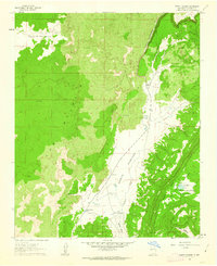
1961 · North Pasture
USGS Topo · 1:24,000
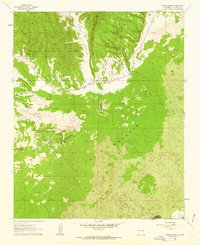
1961 · Arrosa Ranch
USGS Topo · 1:24,000
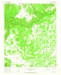
1961 · Laguna Honda
USGS Topo · 1:24,000
1961 · Los Pilares
USGS Topo · 1:24,000