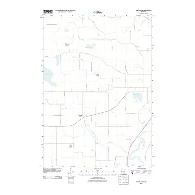
2010 Map of North Star
USGS Topo · Published 2010About this map
The Minnesota River snakes through the southeast corner of this Nicollet County landscape, where the prairie has been systematically transformed by an extensive drainage network. Numerous engineered waterways, including County Ditch Number Seventy-eight and County Ditch Number Thirteen A, crisscross the terrain, reclaiming land from former wetlands now marked as Timber Lakebed, Fox Lakebed, and Goose Lakebed. This hydraulic engineering reflects the region's deep commitment to agriculture, as small settlements like Oshawa and North Star sit at the intersections of a rigid section-line road grid.
Find a feature on this map
52 named features on this map. Tap any name to fly to it.
Don’t see what you’re looking for? This feature index may not catch every label — zoom into the map to look around manually.
Map Details
Editions of this 2010 North Star Map
This is the sole edition of this map. No revisions or reprints were ever made.
Other maps of this area

1950 · Mankato East
USGS Topo · 1:62,500

1951 · Mankato East
USGS Topo · 1:62,500

1951 · Mankato West
USGS Topo · 1:62,500

1953 · Saint Paul
USGS Topo · 1:250,000

1953 · New Ulm
USGS Topo · 1:250,000

1957 · New Ulm
USGS Topo · 1:250,000

1958 · New Ulm
USGS Topo · 1:250,000

1959 · Saint Paul
USGS Topo · 1:250,000

1965 · Norseland
USGS Topo · 1:24,000

1965 · New Sweden
USGS Topo · 1:24,000