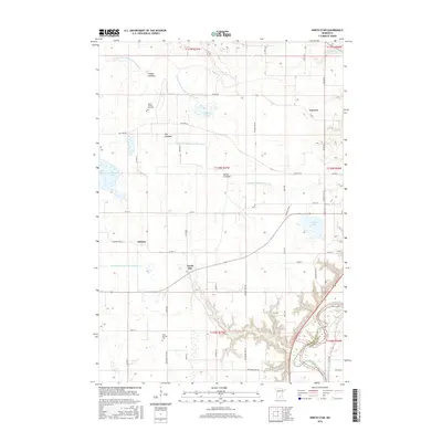
2016 Map of North Star
USGS Topo · Published 2016About this map
Cullen Trading Post Cem and the small settlement of Traverse lie in the northern reaches of this Nicollet County landscape, where the prairie begins its descent toward the river valley. The terrain is defined by a complex drainage network, featuring numerous former lake basins such as Timber Lakebed, Fox Lakebed, and Goose Lakebed. These features, along with a grid of engineered channels like County Ditch Number Thirteen A and County Ditch Number Six, reveal a history of land reclamation for agriculture. In the southeast, the topography shifts dramatically as the land drops into the wooded ravines of Sevenmile Cr, which carves a deep path toward its confluence with the Minnesota River at the boundary of Nicollet and Le Sueur counties. The map also preserves the locations of local landmarks such as Saint Michael Cem and the community of Oshawa.
Find a feature on this map
63 named features on this map. Tap any name to fly to it.
Don’t see what you’re looking for? This feature index may not catch every label — zoom into the map to look around manually.
Map Details
Editions of this 2016 North Star Map
This is the sole edition of this map. No revisions or reprints were ever made.
Other maps of this area
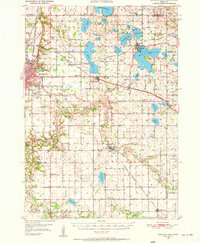
1950 · Mankato East
USGS Topo · 1:62,500
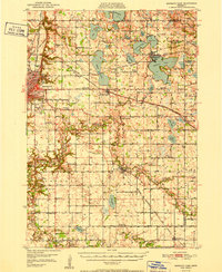
1951 · Mankato East
USGS Topo · 1:62,500
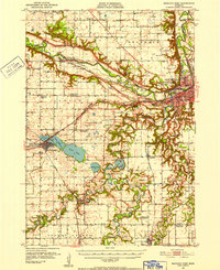
1951 · Mankato West
USGS Topo · 1:62,500
1953 · Saint Paul
USGS Topo · 1:250,000
1953 · New Ulm
USGS Topo · 1:250,000
1957 · New Ulm
USGS Topo · 1:250,000
1958 · New Ulm
USGS Topo · 1:250,000
1959 · Saint Paul
USGS Topo · 1:250,000
1965 · Norseland
USGS Topo · 1:24,000
1965 · New Sweden
USGS Topo · 1:24,000