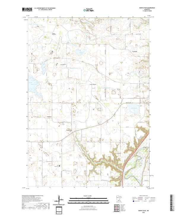
2022 Map of North Star
USGS Topo · Published 2022About this map
Minnesota River bluffs and a sophisticated drainage network define this Nicollet County landscape, where modern agriculture meets early regional history. The map highlights the transition from the upland prairies of Oshawa and North Star to the deep river valley in the southeast. Historical footprints are evident at the Cullen Trading Post Cem and Saint Michael Cem, marking early settler burial sites near the Old Fort Rd. The area’s hydrology is particularly complex, featuring numerous basins like Goose Lakebed and Timber Lakebed alongside an extensive system of man-made waterways including County Ditch Number Seventyweight and County Ditch Number Six. These ditches, paired with natural flows like Sevenmile Cr, illustrate the intensive land management required to maintain the region's productive farmstead character.
Find a feature on this map
66 named features on this map. Tap any name to fly to it.
Don’t see what you’re looking for? This feature index may not catch every label — zoom into the map to look around manually.
Map Details
Editions of this 2022 North Star Map
This is the sole edition of this map. No revisions or reprints were ever made.
Other maps of this area

1950 · Mankato East
USGS Topo · 1:62,500

1951 · Mankato East
USGS Topo · 1:62,500

1951 · Mankato West
USGS Topo · 1:62,500

1953 · Saint Paul
USGS Topo · 1:250,000

1953 · New Ulm
USGS Topo · 1:250,000

1957 · New Ulm
USGS Topo · 1:250,000

1958 · New Ulm
USGS Topo · 1:250,000

1959 · Saint Paul
USGS Topo · 1:250,000

1965 · Norseland
USGS Topo · 1:24,000

1965 · New Sweden
USGS Topo · 1:24,000