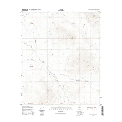
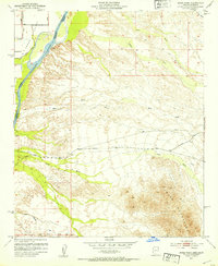
2014 Map of North Trigo Peaks
USGS Topo · Published 2014About this map
North Trigo Peaks and South Trigo Peaks anchor this landscape within the larger Trigo Mountains, a region characterized by complex drainage systems and arid terrain features. The presence of White Tanks and Mohave Tanks suggests vital water catchment points in a dry environment, while the Great Colorado Valley defines the western approach to the highlands. The map documents a transportation network including the Cibola-Ehrenberg Rd and the Bombing Range Rd, reflecting both local passage and the proximity of military-regulated lands. Numerous dry watercourses such as Weaver Wash, Trigo Wash, and Mohave Wash create a dense network of natural pathways through the desert, illustrating how seasonal water has sculpted the topography of the Dome Rock Mountains to the north and the peaks to the south.
Find a feature on this map
21 named features on this map. Tap any name to fly to it.
Don’t see what you’re looking for? This feature index may not catch every label — zoom into the map to look around manually.
Map Details
Editions of this 2014 North Trigo Peaks Map
This is the sole edition of this map. No revisions or reprints were ever made.
Other maps of this area
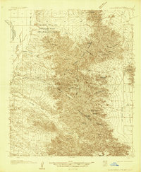
1933 · Cunningham Mtn
USGS Topo · 1:48,000
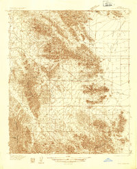
1934 · Trigo Peaks
USGS Topo · 1:48,000
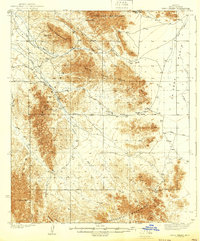
1939 · Trigo Peaks
USGS Topo · 1:62,500
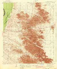
1940 · Dome Rock Mts
USGS Topo · 1:62,500

1942 · Blythe
USGS Topo · 1:250,000
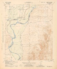
1945 · Cibola
USGS Topo · 1:62,500
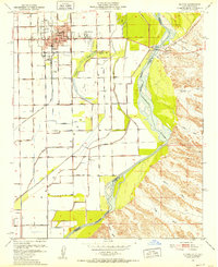
1951 · Blythe
USGS Topo · 1:24,000
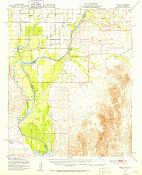
1951 · Cibola
USGS Topo · 1:62,500
1952 · Mule Wash
USGS Topo · 1:24,000

1954 · Salton Sea
USGS Topo · 1:250,000