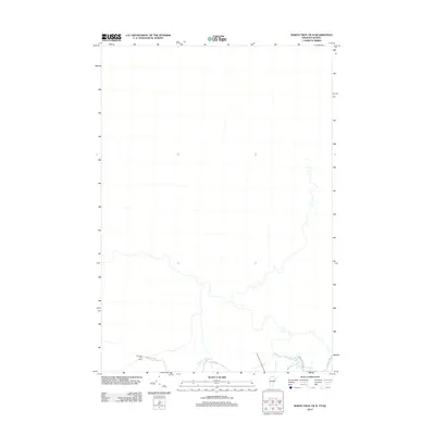
2012 Map of North Troy OE N
USGS Topo · Published 2012About this map
Missisquoi River meanders through the southern portion of this landscape, marking the transition between the rolling hills and the international border. The northern reaches of the quadrangle remain relatively sparse, reflecting the heavy forest cover and topographical character near the Canadian boundary. At the southern edge, Mountain Brook feeds into the river system near the junction of N Jay Rd and Maurice Titus Rd. For local researchers, the presence of Journeys End Camp and its namesake Journeys End Rd indicates the area's ongoing importance for recreational and woodland activities. This survey captures the quiet, rural infrastructure of Orleans County as it stood in the early 2010s, defined by its small road networks and natural watercourses.
Find a feature on this map
7 named features on this map. Tap any name to fly to it.
Don’t see what you’re looking for? This feature index may not catch every label — zoom into the map to look around manually.
Map Details
Editions of this 2012 North Troy OE N Map
This is the sole edition of this map. No revisions or reprints were ever made.
Other maps of this area

1919 · Montgomery
USGS Topo · 1:62,500

1920 · Montgomery
USGS Topo · 1:62,500

1920 · Irasburg
USGS Topo · 1:62,500

1923 · Irasburg
USGS Topo · 1:48,000

1925 · Irasburg
USGS Topo · 1:62,500

1925 · Jay Peak
USGS Topo · 1:62,500

1943 · Jay Peak
USGS Topo · 1:62,500

1950 · Lake Champlain
USGS Topo · 1:250,000

1953 · Jay Peak
USGS Topo · 1:62,500

1953 · Irasburg
USGS Topo · 1:62,500