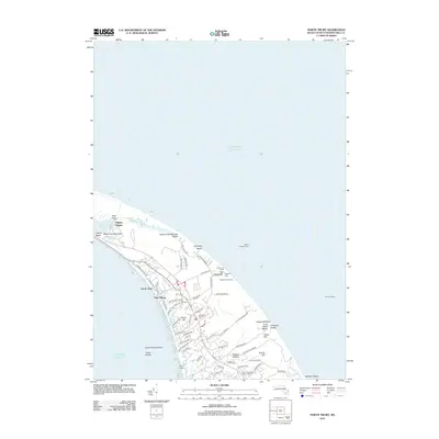
2012 Map of North Truro
USGS Topo · Published 2012About this map
Highland Light stands as a sentinel over the Outer Cape, overlooking a landscape where Atlantic coastal geography meets maritime history. This modern survey details the intricate network of residential roads and trails that have developed around established settlements like North Truro and Pond Village. The terrain is characterized by its dramatic hollows and coastal bluffs, including Great Hollow and Higgins Hollow, which shape the local community's relationship with the sea.
Find a feature on this map
73 named features on this map. Tap any name to fly to it.
Don’t see what you’re looking for? This feature index may not catch every label — zoom into the map to look around manually.
Map Details
Editions of this 2012 North Truro Map
This is the sole edition of this map. No revisions or reprints were ever made.
Other maps of this area

1887 · Wellfleet
USGS Topo · 1:62,500

1887 · Provincetown
USGS Topo · 1:62,500

1889 · Provincetown
USGS Topo · 1:62,500

1889 · Wellfleet
USGS Topo · 1:62,500

1893 · Wellfleet
USGS Topo · 1:62,500

1898 · Provincetown
USGS Topo · 1:62,500

1942 · Cape Cod Bay
USGS Topo · 1:125,000

1942 · Nauset
USGS Topo · 1:125,000

1944 · Provincetown
USGS Topo · 1:31,680

1944 · Wellfleet
USGS Topo · 1:31,680