
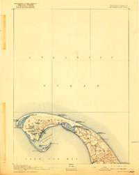
1889 Map of Provincetown
USGS Topo · Published 1889About this map
Provincetown sits at the hooked tip of Cape Cod, showing a landscape defined by maritime safety and shifting sands in the late 19th century. The settlement cluster near Town Hill is anchored by a dense network of streets and a rail line terminating at the harbor. Surrounding the town is a wilderness of water and dunes, from the expansive Shank Painter Pond to the secluded Duck Pond and Round Pond.
Find a feature on this map
32 named features on this map. Tap any name to fly to it.
Don’t see what you’re looking for? This feature index may not catch every label — zoom into the map to look around manually.
Map Details
Editions of this 1889 Provincetown Map
7 editions found
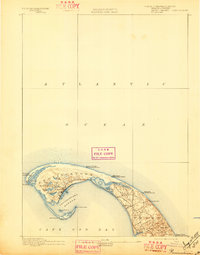
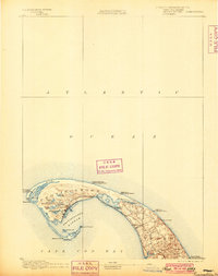
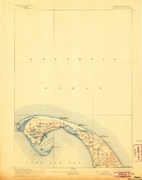
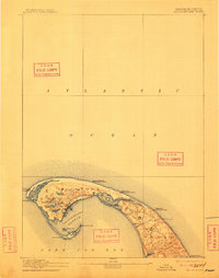
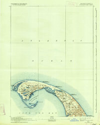
Other maps of this area

1887 · Wellfleet
USGS Topo · 1:62,500

1887 · Provincetown
USGS Topo · 1:62,500

1889 · Wellfleet
USGS Topo · 1:62,500

1893 · Wellfleet
USGS Topo · 1:62,500

1898 · Provincetown
USGS Topo · 1:62,500

1942 · Cape Cod Bay
USGS Topo · 1:125,000

1942 · Nauset
USGS Topo · 1:125,000

1944 · Provincetown
USGS Topo · 1:31,680

1944 · Wellfleet
USGS Topo · 1:31,680
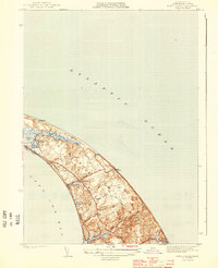
1944 · North Truro
USGS Topo · 1:31,680