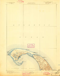
1889 Map of Provincetown
USGS Topo · Published 1897About this map
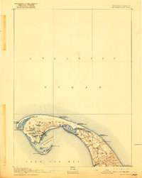
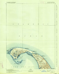
Maritime safety and coastal topography define the tip of Cape Cod in this late 19th-century survey. The landscape of Provincetown and Truro is marked by a dense network of navigation aids, reflecting the area's vital role in Atlantic shipping. Four major beacons—Race Point Light, Highland Light, Long Point Light, and Wood End Light—stand watch over the treacherous outer sands and the shelter of Provincetown Harbor.
Find a feature on this map
31 named features on this map. Tap any name to fly to it.
Don’t see what you’re looking for? This feature index may not catch every label — zoom into the map to look around manually.
Map Details
Editions of this 1889 Provincetown Map
7 editions found
Other maps of this area

1887 · Wellfleet
USGS Topo · 1:62,500

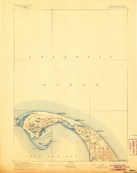
1887 · Provincetown
USGS Topo · 1:62,500

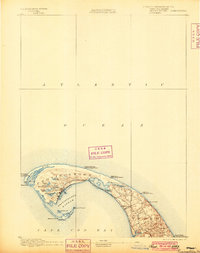
1889 · Provincetown
USGS Topo · 1:62,500

1889 · Wellfleet
USGS Topo · 1:62,500

1893 · Wellfleet
USGS Topo · 1:62,500

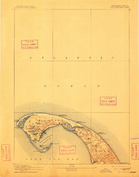
1898 · Provincetown
USGS Topo · 1:62,500

1942 · Cape Cod Bay
USGS Topo · 1:125,000

1942 · Nauset
USGS Topo · 1:125,000

1944 · Provincetown
USGS Topo · 1:31,680

1944 · Wellfleet
USGS Topo · 1:31,680