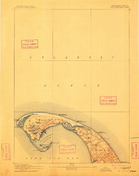
1889 Map of Provincetown
USGS Topo · Published 1911About this map
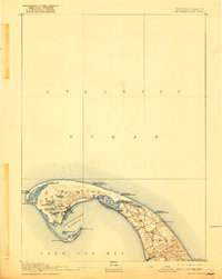
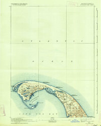
Provincetown and the surrounding outer Cape Cod landscape are defined by an extensive network of maritime safety infrastructure in this late 19th-century survey. The coastline is punctuated by numerous facilities dedicated to navigation and rescue, including the Race Point Light and a series of dedicated stations such as the Peaked Hill Bar Life Saving Station and Highland Life Saving Station. These sites reflect the era's reliance on shore-based watchmen to assist vessels navigating the treacherous Atlantic waters and the entrance to Provincetown Harbor. Inland, the map details a complex geography of freshwater bodies like Shank Painter Pond and Duck Pond, alongside the significant Pilgrim Lake. The settlement patterns of North Truro and the concentrated village at the tip of the cape show a community deeply integrated with the sea, while landmarks like Town Hill and Smalls Hill provide topographic perspective on this shifting sandy terrain.
Find a feature on this map
33 named features on this map. Tap any name to fly to it.
Don’t see what you’re looking for? This feature index may not catch every label — zoom into the map to look around manually.
Map Details
Editions of this 1889 Provincetown Map
7 editions found
Other maps of this area

1887 · Wellfleet
USGS Topo · 1:62,500

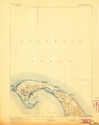
1887 · Provincetown
USGS Topo · 1:62,500

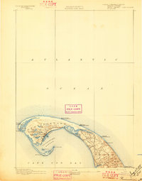
1889 · Provincetown
USGS Topo · 1:62,500

1889 · Wellfleet
USGS Topo · 1:62,500

1893 · Wellfleet
USGS Topo · 1:62,500

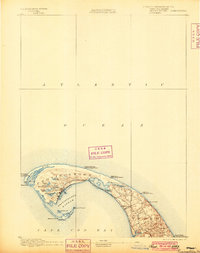
1898 · Provincetown
USGS Topo · 1:62,500

1942 · Cape Cod Bay
USGS Topo · 1:125,000

1942 · Nauset
USGS Topo · 1:125,000

1944 · Provincetown
USGS Topo · 1:31,680

1944 · Wellfleet
USGS Topo · 1:31,680