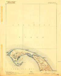
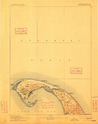
1889 Map of Provincetown
USGS Topo · Published 1921About this map
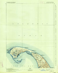
Provincetown and the northern tip of Cape Cod appear here during the late nineteenth century, defined by a maritime infrastructure built for safety and navigation. The coastline is heavily marked with life saving stations, including Race Point, Peaked Hill Bar, and High Head, reflecting the dangerous waters surrounding the outer cape. Essential navigational aids like Highland Light and Race Point Light stand as primary landmarks against the Atlantic Ocean.
Find a feature on this map
33 named features on this map. Tap any name to fly to it.
Don’t see what you’re looking for? This feature index may not catch every label — zoom into the map to look around manually.
Map Details
Editions of this 1889 Provincetown Map
7 editions found
Other maps of this area

1887 · Wellfleet
USGS Topo · 1:62,500

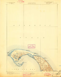
1887 · Provincetown
USGS Topo · 1:62,500

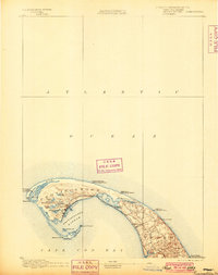
1889 · Provincetown
USGS Topo · 1:62,500

1889 · Wellfleet
USGS Topo · 1:62,500

1893 · Wellfleet
USGS Topo · 1:62,500

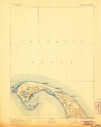
1898 · Provincetown
USGS Topo · 1:62,500

1942 · Cape Cod Bay
USGS Topo · 1:125,000

1942 · Nauset
USGS Topo · 1:125,000

1944 · Provincetown
USGS Topo · 1:31,680

1944 · Wellfleet
USGS Topo · 1:31,680