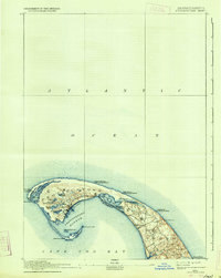
1889 Map of Provincetown
USGS Topo · Published 1934About this map
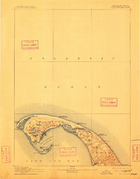
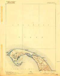
Provincetown and the northern reaches of Truro anchor this coastal landscape, revealing the intricate geography of the Outer Cape as it was surveyed in the late 19th century. The settlement at Provincetown is densely clustered along the inner curve of Provincetown Harbor, protected from the Atlantic Ocean by the hooked peninsula. The interior is dotted with numerous small freshwater bodies like Pasture Pond, Duck Pond, and the unusually named Shank Painter Pond.
Find a feature on this map
31 named features on this map. Tap any name to fly to it.
Don’t see what you’re looking for? This feature index may not catch every label — zoom into the map to look around manually.
Map Details
Editions of this 1889 Provincetown Map
7 editions found
Other maps of this area

1887 · Wellfleet
USGS Topo · 1:62,500

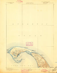
1887 · Provincetown
USGS Topo · 1:62,500

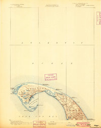
1889 · Provincetown
USGS Topo · 1:62,500

1889 · Wellfleet
USGS Topo · 1:62,500

1893 · Wellfleet
USGS Topo · 1:62,500

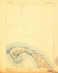
1898 · Provincetown
USGS Topo · 1:62,500

1942 · Cape Cod Bay
USGS Topo · 1:125,000

1942 · Nauset
USGS Topo · 1:125,000

1944 · Provincetown
USGS Topo · 1:31,680

1944 · Wellfleet
USGS Topo · 1:31,680