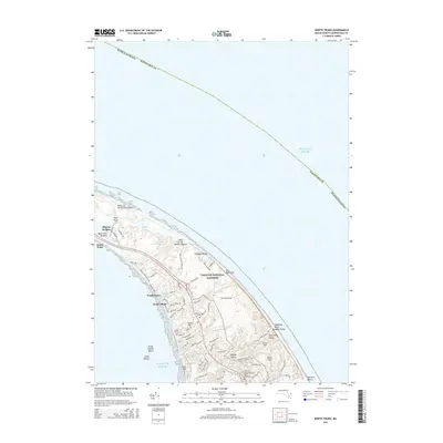
2015 Map of North Truro
USGS Topo · Published 2015About this map
North Truro and the surrounding coastal landscape of the outer Cape are defined here by a balance of maritime settlements and the protected wilderness of the Cape Cod National Seashore. The map shows a concentration of local history near the shoreline, including Pond Village and the historic Old North Cem. The terrain reveals a complex series of hollows and heights, such as Higgins Hollow and the evocative Hill of Churches, which stand alongside the shifting sands of the Dunes of the Provincelands.
Find a feature on this map
75 named features on this map. Tap any name to fly to it.
Don’t see what you’re looking for? This feature index may not catch every label — zoom into the map to look around manually.
Map Details
Editions of this 2015 North Truro Map
This is the sole edition of this map. No revisions or reprints were ever made.
Other maps of this area

1887 · Wellfleet
USGS Topo · 1:62,500

1887 · Provincetown
USGS Topo · 1:62,500

1889 · Provincetown
USGS Topo · 1:62,500

1889 · Wellfleet
USGS Topo · 1:62,500

1893 · Wellfleet
USGS Topo · 1:62,500

1898 · Provincetown
USGS Topo · 1:62,500

1942 · Cape Cod Bay
USGS Topo · 1:125,000

1942 · Nauset
USGS Topo · 1:125,000

1944 · Provincetown
USGS Topo · 1:31,680

1944 · Wellfleet
USGS Topo · 1:31,680