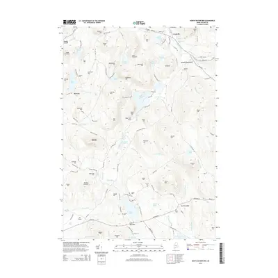
2014 Map of North Waterford
USGS Topo · Published 2014About this map
The village of North Waterford sits at the junction of Valley Rd and Norway Rd, serving as a central point in this landscape of the Oxford Hills. The terrain is defined by a dense network of high points such as Allen Mountain, Beech Hill, and Sabattus Mountain, which overlook a complex system of waterways. Significant water bodies like Five Kezar Ponds, Cushman Pond, and Keyes Pond are interconnected by several streams, including the Crooked River and Kezar River.
Find a feature on this map
137 named features on this map. Tap any name to fly to it.
Don’t see what you’re looking for? This feature index may not catch every label — zoom into the map to look around manually.
Map Details
Editions of this 2014 North Waterford Map
This is the sole edition of this map. No revisions or reprints were ever made.
Other maps of this area

1896 · Norway
USGS Topo · 1:62,500

1909 · Fryeburg
USGS Topo · 1:62,500

1911 · Fryeburg
USGS Topo · 1:62,500

1911 · Bryant Pond
USGS Topo · 1:62,500

1914 · Bethel
USGS Topo · 1:62,500

1914 · Bryant Pond
USGS Topo · 1:62,500

1940 · Bethel
USGS Topo · 1:62,500

1941 · Bethel
USGS Topo · 1:62,500

1941 · Fryeburg
USGS Topo · 1:62,500

1942 · Bryant Pond
USGS Topo · 1:62,500