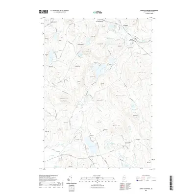
2021 Map of North Waterford
USGS Topo · Published 2021About this map
North Waterford serves as a focal point in this portion of Oxford County, where the Crooked River flows toward the eastern margin of the sheet. The landscape is defined by a dense network of water bodies and high ground, including the complex of Five Kezar Ponds and the dramatic Kezar Falls Gorge. Small settlements such as East Sweden, Lynchville, and Slab City are connected by a web of local roads like Five Kezars Rd and Sabattus Rd.
Find a feature on this map
128 named features on this map. Tap any name to fly to it.
Don’t see what you’re looking for? This feature index may not catch every label — zoom into the map to look around manually.
Map Details
Editions of this 2021 North Waterford Map
This is the sole edition of this map. No revisions or reprints were ever made.
Other maps of this area

1896 · Norway
USGS Topo · 1:62,500

1909 · Fryeburg
USGS Topo · 1:62,500

1911 · Fryeburg
USGS Topo · 1:62,500

1911 · Bryant Pond
USGS Topo · 1:62,500

1914 · Bethel
USGS Topo · 1:62,500

1914 · Bryant Pond
USGS Topo · 1:62,500

1940 · Bethel
USGS Topo · 1:62,500

1941 · Bethel
USGS Topo · 1:62,500

1941 · Fryeburg
USGS Topo · 1:62,500

1942 · Bryant Pond
USGS Topo · 1:62,500