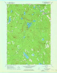
1963 Map of North Waterford
USGS Topo · Published 1976About this map
North Waterford and the surrounding townships of Stoneham, Lovell, and Sweden are defined by a complex network of glacial ponds and small drainage basins. This mid-century landscape is characterized by its rural settlement pattern, with small clusters like Slab City and Lynchville situated between the elevations of Sabattus Mtn and Winns Hill. The Crooked River and Kezar River anchor the drainage of the area, winding past family-named landmarks such as Patterson Hill and Burnell Hill. Local genealogy is well-preserved through numerous small burying grounds, including Brackett Cem and Haskell Cem, and the presence of the Fairgrounds near the confluence of Crooked River and Warren Brook suggests a center for community gathering. The transition from the White Mountain National Forest in the north to the glacial outwash of The Plains in the south illustrates the varied Maine interior terrain.
Find a feature on this map
82 named features on this map. Tap any name to fly to it.
Don’t see what you’re looking for? This feature index may not catch every label — zoom into the map to look around manually.
Map Details
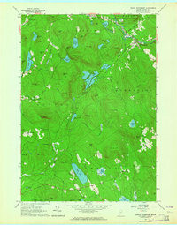
Editions of this 1963 North Waterford Map
2 editions found
Other maps of this area

1896 · Norway
USGS Topo · 1:62,500

1909 · Fryeburg
USGS Topo · 1:62,500

1911 · Fryeburg
USGS Topo · 1:62,500

1911 · Bryant Pond
USGS Topo · 1:62,500

1914 · Bethel
USGS Topo · 1:62,500

1914 · Bryant Pond
USGS Topo · 1:62,500

1940 · Bethel
USGS Topo · 1:62,500

1941 · Bethel
USGS Topo · 1:62,500

1941 · Fryeburg
USGS Topo · 1:62,500

1942 · Bryant Pond
USGS Topo · 1:62,500