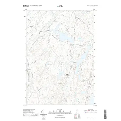
2021 Map of North Whitefield
USGS Topo · Published 2021About this map
North Whitefield and South Jefferson serve as the primary settlement anchors in this portion of Lincoln County, where the landscape is defined by the winding course of the Sheepscot River and a dense network of freshwater bodies. The area is particularly rich in genealogical data, preserving the locations of numerous family and parish burial grounds such as Saint Denis Cem, Trask Lawn Cem, and Otis Weeks Cem. The topography is characterized by prominent rises like Bunker Hill and Jones Hill, which overlook substantial water features including Clary Lake and Dyer Long Pond. This modern survey records the enduring rural character of the region, where older road systems like Grand Army Rd and Wiscasset Rd continue to connect isolated homesteads and small lakeside communities across the rugged Maine interior.
Find a feature on this map
103 named features on this map. Tap any name to fly to it.
Don’t see what you’re looking for? This feature index may not catch every label — zoom into the map to look around manually.
Map Details
Editions of this 2021 North Whitefield Map
This is the sole edition of this map. No revisions or reprints were ever made.
Other maps of this area

1893 · Vassalboro
USGS Topo · 1:62,500

1893 · Wiscasset
USGS Topo · 1:62,500

1898 · Vassalboro
USGS Topo · 1:62,500

1913 · Waldoboro
USGS Topo · 1:48,000

1915 · Waldoboro
USGS Topo · 1:62,500

1916 · Liberty
USGS Topo · 1:62,500

1941 · Waldoboro
USGS Topo · 1:62,500

1941 · Vassalboro
USGS Topo · 1:62,500

1942 · Liberty
USGS Topo · 1:62,500

1943 · Vassalboro
USGS Topo · 1:62,500