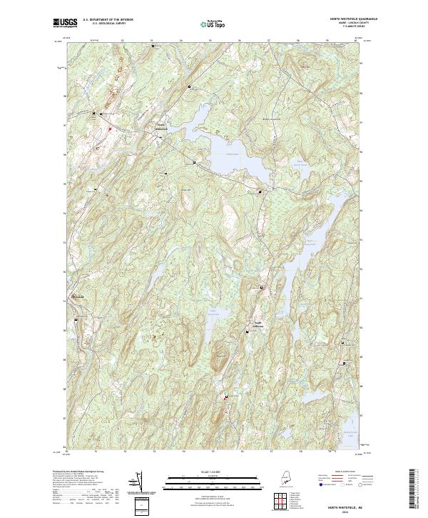
2024 Map of North Whitefield
USGS Topo · Published 2024About this map
The Sheepscot River and its multiple branches define the movement of water and commerce through this portion of Lincoln County. Historically centered around North Whitefield, Whitefield, and South Jefferson, the landscape is a complex network of family cemeteries and elevated landmarks like Jones Hill and Dyer Hill. Genealogists will find a high density of burial grounds, including Saint Denis Cem, Calvary Cem, and the Whitefield Cem, reflecting generations of settlement along the river valleys.
Find a feature on this map
90 named features on this map. Tap any name to fly to it.
Don’t see what you’re looking for? This feature index may not catch every label — zoom into the map to look around manually.
Map Details
Editions of this 2024 North Whitefield Map
This is the sole edition of this map. No revisions or reprints were ever made.
Other maps of this area

1893 · Vassalboro
USGS Topo · 1:62,500

1893 · Wiscasset
USGS Topo · 1:62,500

1898 · Vassalboro
USGS Topo · 1:62,500

1913 · Waldoboro
USGS Topo · 1:48,000

1915 · Waldoboro
USGS Topo · 1:62,500

1916 · Liberty
USGS Topo · 1:62,500

1941 · Waldoboro
USGS Topo · 1:62,500

1941 · Vassalboro
USGS Topo · 1:62,500

1942 · Liberty
USGS Topo · 1:62,500

1943 · Vassalboro
USGS Topo · 1:62,500