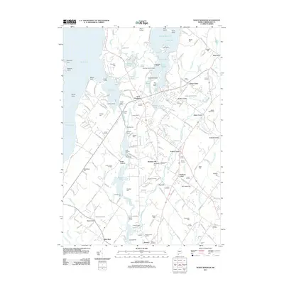
2011 Map of North Windham
USGS Topo · Published 2011About this map
North Windham serves as a central hub in this survey, where the Presumpscot River and Eel Weir Canal dominate the local industrial and natural landscape. The river's path is marked by several significant water control structures, including the Eel Weir Dam, Sebago Lake Dam, and the Dundee Pond Dam, illustrating the region's historical reliance on water power and navigation. To the north, Little Sebago Lake expands into Upper Bay and Hunger Bay, dotted with features like Bass Island and Shelldrake Point.
Find a feature on this map
186 named features on this map. Tap any name to fly to it.
Don’t see what you’re looking for? This feature index may not catch every label — zoom into the map to look around manually.
Map Details
Editions of this 2011 North Windham Map
This is the sole edition of this map. No revisions or reprints were ever made.
Other maps of this area

1891 · Portland
USGS Topo · 1:62,500

1891 · Buxton
USGS Topo · 1:62,500

1892 · Buxton
USGS Topo · 1:62,500

1893 · Portland
USGS Topo · 1:62,500

1893 · Buxton
USGS Topo · 1:62,500

1894 · Gray
USGS Topo · 1:62,500

1896 · Sebago
USGS Topo · 1:62,500

1898 · Gray
USGS Topo · 1:62,500

1914 · Portland
USGS Topo · 1:48,000

1916 · Portland
USGS Topo · 1:62,500