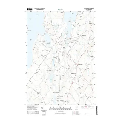
2014 Map of North Windham
USGS Topo · Published 2014About this map
North Windham and the surrounding villages of Windham Center and North Gorham characterize this portion of Cumberland County, where the Presumpscot River and Eel Weir Canal define the local water system. The landscape is dotted with small cemeteries reflecting generations of local families, such as the Goudreau Family Burying Ground and Hanson Burial Ground. Higher elevations like Boody Hill and Allie Hawks Hill overlook a network of ponds, including Dundee Pond and Pettingill Pond. To the west, the campus of Saint Joseph's Coll sits near the shores of Jordan Bay on Sebago Lake. The Presence of the Babbs Bridge—indicated as a covered bridge—and the Great Falls Bridge highlight historical crossing points over the Presumpscot, while Slip Knot Landing Airport suggests more modern local transit. This area represents a well-established residential and agricultural corridor between larger regional centers.
Find a feature on this map
203 named features on this map. Tap any name to fly to it.
Don’t see what you’re looking for? This feature index may not catch every label — zoom into the map to look around manually.
Map Details
Editions of this 2014 North Windham Map
This is the sole edition of this map. No revisions or reprints were ever made.
Other maps of this area

1891 · Portland
USGS Topo · 1:62,500

1891 · Buxton
USGS Topo · 1:62,500

1892 · Buxton
USGS Topo · 1:62,500

1893 · Portland
USGS Topo · 1:62,500

1893 · Buxton
USGS Topo · 1:62,500

1894 · Gray
USGS Topo · 1:62,500

1896 · Sebago
USGS Topo · 1:62,500

1898 · Gray
USGS Topo · 1:62,500

1914 · Portland
USGS Topo · 1:48,000

1916 · Portland
USGS Topo · 1:62,500