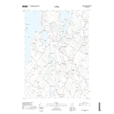
2018 Map of North Windham
USGS Topo · Published 2018About this map
Sebago Lake and its eastern shores dominate this landscape, where the Presumpscot River and Eel Weir Canal flow southward toward Dundee Pond. The area is characterized by a high density of small family plots and community graveyards, such as the Goudreau Family Burying Ground and Hanson Burial Ground, which provide valuable touchstones for genealogical research. The region's geography is defined by a series of crossroads settlements, from the commercial hub of North Windham to smaller points like Dolley Corner and Popeville. Historical transit and industry are evident in features like Babbs Bridge, a crossing on the Pleasant River, and the various bridges spanning the canal system. The presence of Saint Joseph's College of Maine on the shores of Jordan Bay marks a significant institutional landmark in this corner of Cumberland County.
Find a feature on this map
220 named features on this map. Tap any name to fly to it.
Don’t see what you’re looking for? This feature index may not catch every label — zoom into the map to look around manually.
Map Details
Editions of this 2018 North Windham Map
This is the sole edition of this map. No revisions or reprints were ever made.
Other maps of this area

1891 · Portland
USGS Topo · 1:62,500

1891 · Buxton
USGS Topo · 1:62,500

1892 · Buxton
USGS Topo · 1:62,500

1893 · Portland
USGS Topo · 1:62,500

1893 · Buxton
USGS Topo · 1:62,500

1894 · Gray
USGS Topo · 1:62,500

1896 · Sebago
USGS Topo · 1:62,500

1898 · Gray
USGS Topo · 1:62,500

1914 · Portland
USGS Topo · 1:48,000

1916 · Portland
USGS Topo · 1:62,500