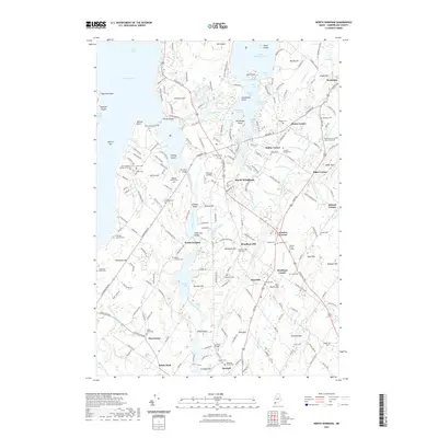
2021 Map of North Windham
USGS Topo · Published 2021About this map
The Presumpscot River serves as the central artery of this landscape, its waters channeled through the Eel Weir Canal and pooled at Dundee Pond and Mill Pond. This survey of the Windham area captures a network of small settlements and family-named landmarks that have defined Cumberland County for generations. From the established campus of Saint Joseph's College of Maine near Whites Hill to the crossroads at North Windham and Fosters Corner, the map reveals a community deeply tied to its geography. Genealogists will find a high density of small family burial sites, such as the Purinton Cem, Mugford Family Cem, and the Goudreau Family Burying Ground. Historic river crossings like Babbs Bridge and Lovett Bridge link the towns of North Gorham and Windham Center, while the shoreline of Jordan Bay on Sebago Lake marks the western boundary of this coastal Maine interior.
Find a feature on this map
119 named features on this map. Tap any name to fly to it.
Don’t see what you’re looking for? This feature index may not catch every label — zoom into the map to look around manually.
Map Details
Editions of this 2021 North Windham Map
This is the sole edition of this map. No revisions or reprints were ever made.
Other maps of this area

1891 · Portland
USGS Topo · 1:62,500

1891 · Buxton
USGS Topo · 1:62,500

1892 · Buxton
USGS Topo · 1:62,500

1893 · Portland
USGS Topo · 1:62,500

1893 · Buxton
USGS Topo · 1:62,500

1894 · Gray
USGS Topo · 1:62,500

1896 · Sebago
USGS Topo · 1:62,500

1898 · Gray
USGS Topo · 1:62,500

1914 · Portland
USGS Topo · 1:48,000

1916 · Portland
USGS Topo · 1:62,500