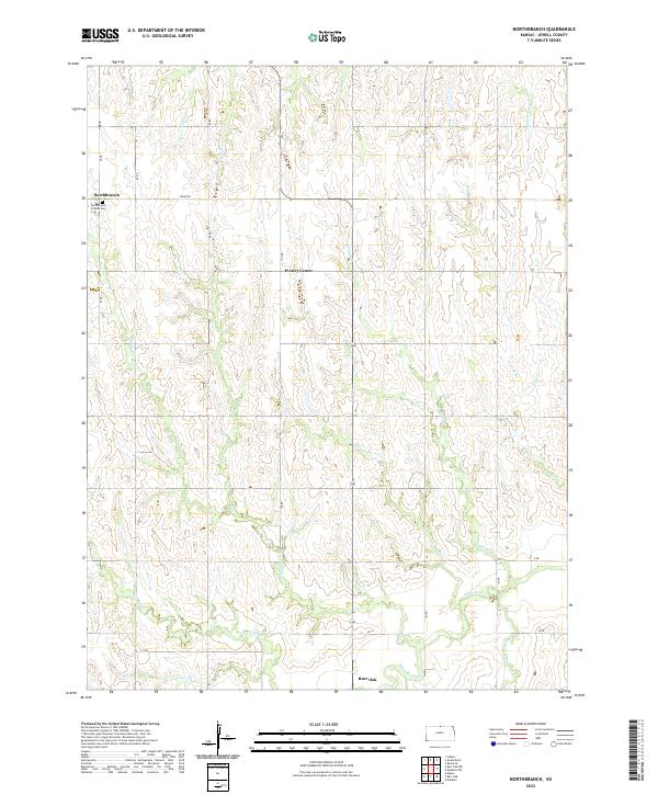
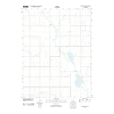
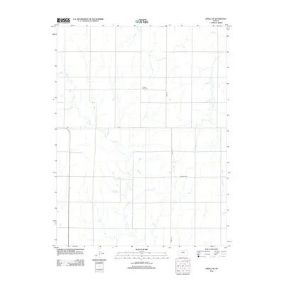
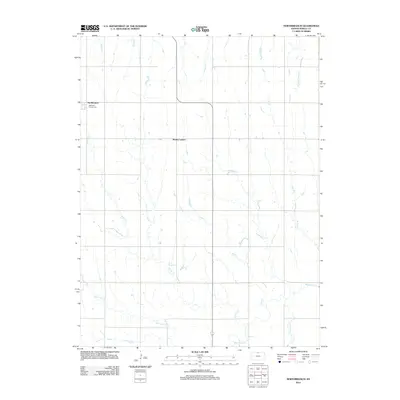
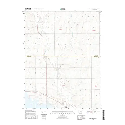
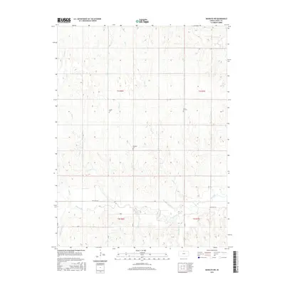
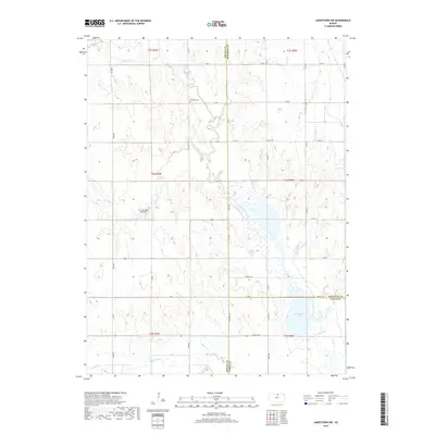
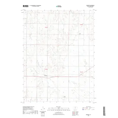
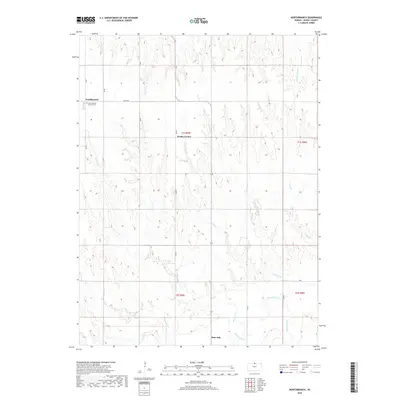
2022 Map of Northbranch
USGS Topo · Published 2022About this map
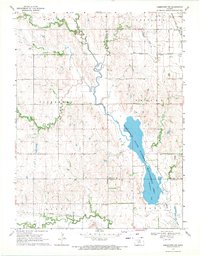
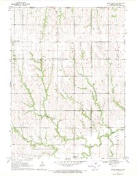
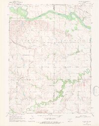
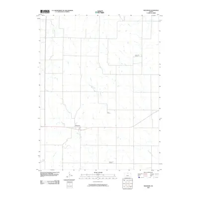
Northbranch and the surrounding plains of Jewell County are defined by a network of dendritic creek systems that flow south toward the White Rock Cr valley. This landscape of the early 2020s shows a structured rural grid, where numbered roads like 100 RD and named routes like Cedar Rd connect long-standing agricultural communities. Near the northern border, the Northbranch Friends Cem stands as a significant landmark for those tracing local Quaker heritage, situated just west of the small settlement of Northbranch.
Find a feature on this map
27 named features on this map. Tap any name to fly to it.
Don’t see what you’re looking for? This feature index may not catch every label — zoom into the map to look around manually.
Map Details
Editions of this 2022 Northbranch Map
This is the sole edition of this map. No revisions or reprints were ever made.
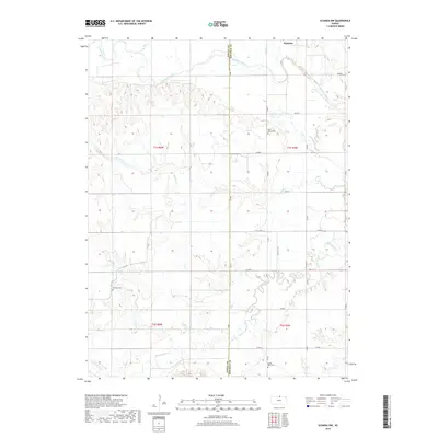
Historical Maps of Burr Oak Through Time
60 maps found
1962 Glen Elder North
Jewell County, KS
1962 Jewell SE
Jewell County, KS

1962 Jewell SW
Jewell County, KS
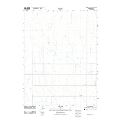
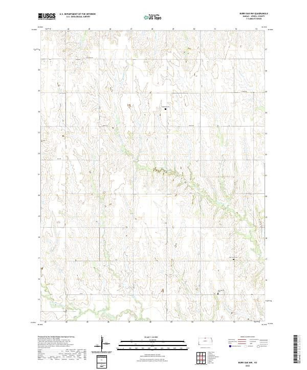
1968 Burr Oak NW
Jewell County, KS
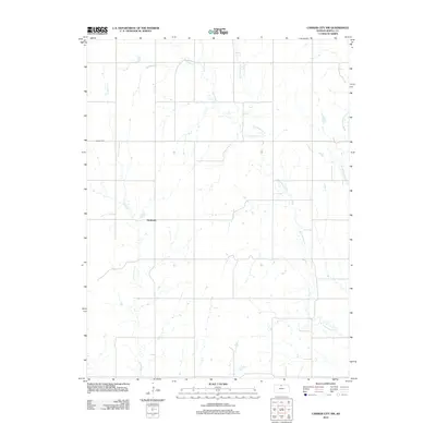
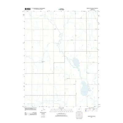
1968 Jamestown NW
Jewell County, KS
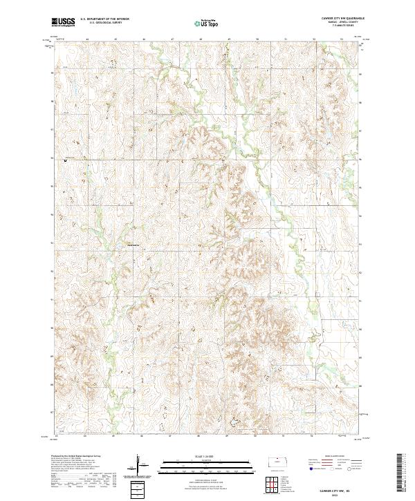
1969 Cawker City NW
Jewell County, KS
1969 Mankato NW
Jewell County, KS
1969 Montrose
Jewell County, KS
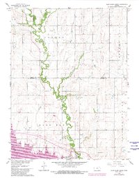
1969 North Branch
Jewell County, KS
1969 Scandia NW
Jewell County, KS
2009 Burr Oak NW
Jewell County, KS
2009 Cawker City NW
Jewell County, KS
2009 Jamestown NW
Jewell County, KS
2009 Jewell SE
Jewell County, KS
2009 Jewell SW
Jewell County, KS
2009 Mankato NW
Jewell County, KS
2009 Montrose
Jewell County, KS
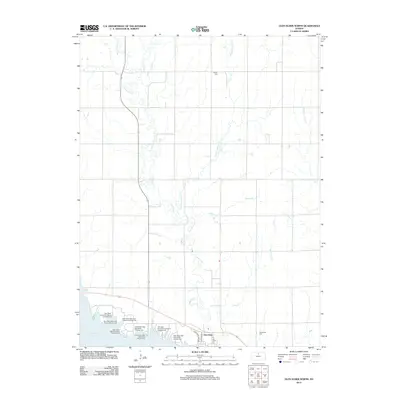
2010 Glen Elder North
Jewell County, KS
2010 Northbranch
Jewell County, KS
2010 Scandia NW
Jewell County, KS
2012 Burr Oak NW
Jewell County, KS
2012 Cawker City NW
Jewell County, KS
2012 Glen Elder North
Jewell County, KS
2012 Jamestown NW
Jewell County, KS
2012 Jewell SE
Jewell County, KS
2012 Jewell SW
Jewell County, KS
2012 Mankato NW
Jewell County, KS
2012 Montrose
Jewell County, KS
2012 Northbranch
Jewell County, KS
2012 Scandia NW
Jewell County, KS
2015 Burr Oak NW
Jewell County, KS
2015 Cawker City NW
Jewell County, KS
2015 Glen Elder North
Jewell County, KS
2015 Jamestown NW
Jewell County, KS
2015 Jewell SE
Jewell County, KS
2015 Jewell SW
Jewell County, KS
2015 Mankato NW
Jewell County, KS
2016 Montrose
Jewell County, KS
2016 Northbranch
Jewell County, KS
2016 Scandia NW
Jewell County, KS
2018 Burr Oak NW
Jewell County, KS
2018 Cawker City NW
Jewell County, KS
2018 Glen Elder North
Jewell County, KS
2018 Jamestown NW
Jewell County, KS
2018 Jewell SE
Jewell County, KS
2018 Jewell SW
Jewell County, KS
2018 Mankato NW
Jewell County, KS
2018 Montrose
Jewell County, KS
2018 Northbranch
Jewell County, KS
2018 Scandia NW
Jewell County, KS
2022 Burr Oak NW
Jewell County, KS
2022 Cawker City NW
Jewell County, KS
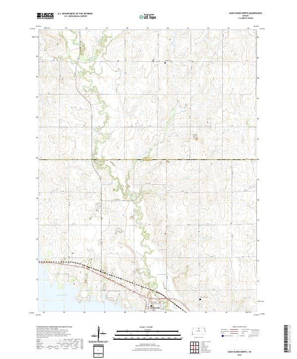
2022 Glen Elder North
Jewell County, KS
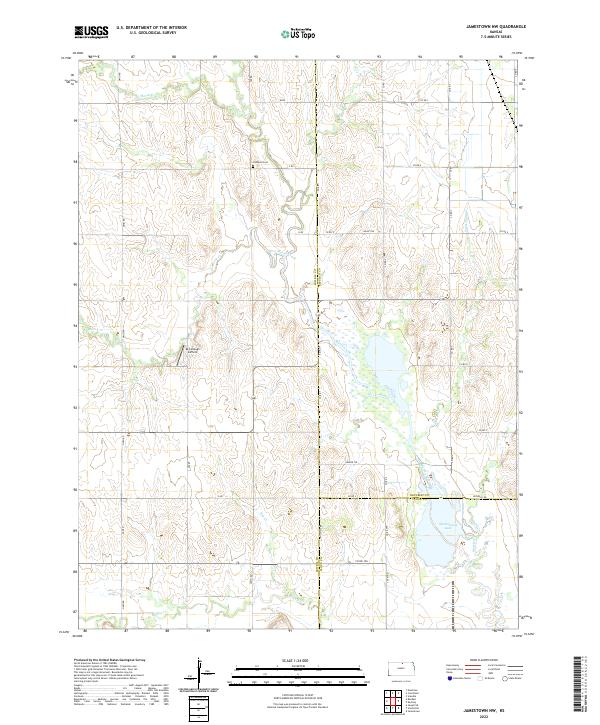
2022 Jamestown NW
Jewell County, KS
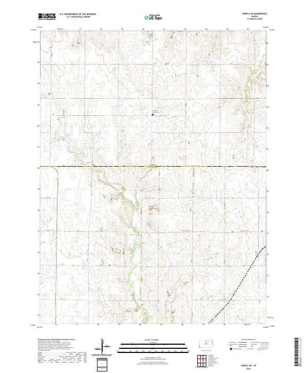
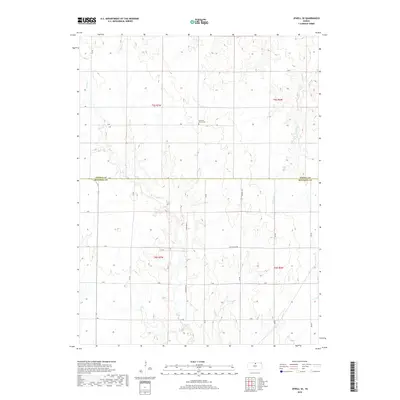
2022 Jewell SE
Jewell County, KS
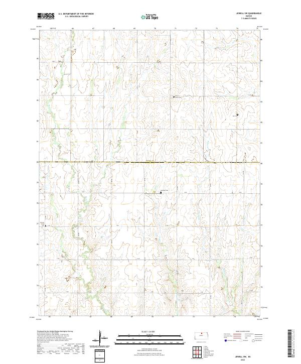
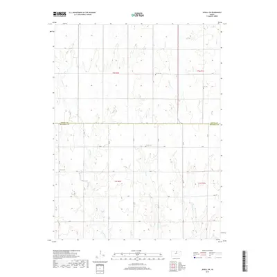
2022 Jewell SW
Jewell County, KS
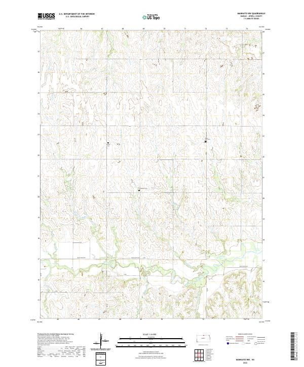
2022 Mankato NW
Jewell County, KS
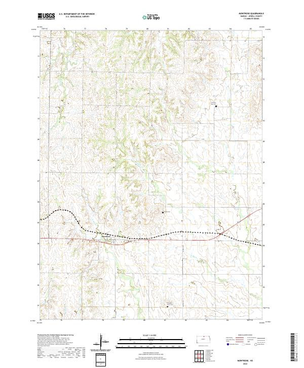
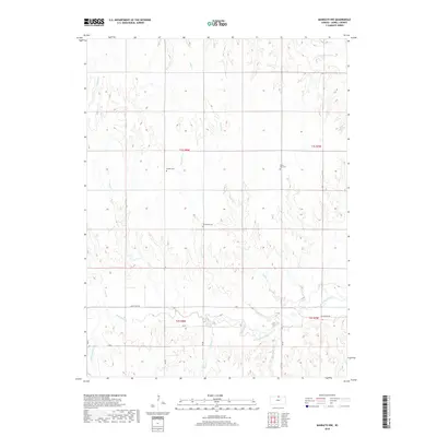
2022 Montrose
Jewell County, KS
2022 Northbranch
Jewell County, KS
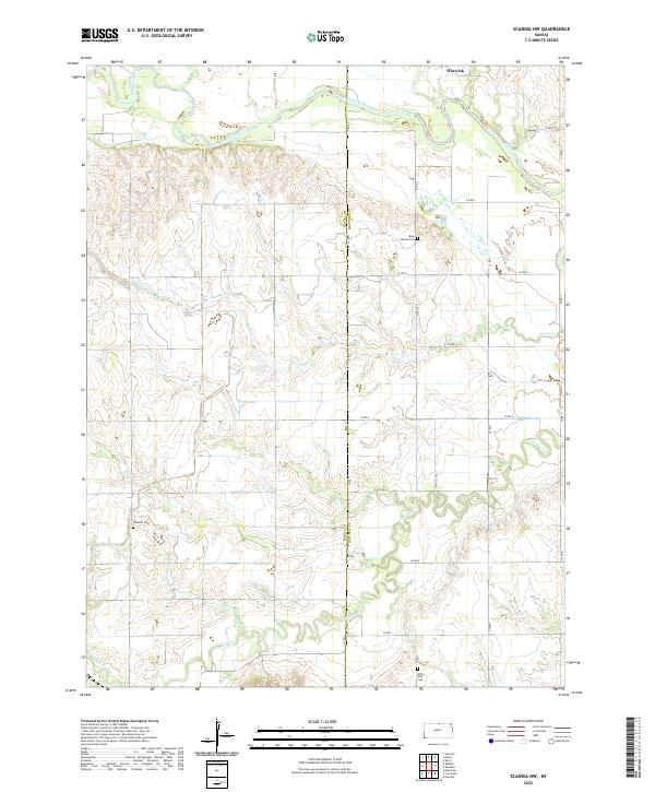
2022 Scandia NW
Jewell County, KS