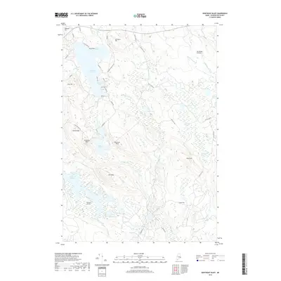
2018 Map of Northeast Bluff
USGS Topo · Published 2018About this map
Pleasant River Lake and its intricate shoreline of coves and points dominate this 2018 survey of the Washington County interior. The terrain is defined by a series of glacial and fluvial features, ranging from the prominent Northeast Bluff and Southwest Bluff to the expansive wetlands of Beech Hill Heath and the Bog Brook Flowage. Local roads such as Elsies Point Rd and Shore Rd trace the water's edge, providing access to landmarks like Dick Allen Cove and Parker Cove.
Find a feature on this map
63 named features on this map. Tap any name to fly to it.
Don’t see what you’re looking for? This feature index may not catch every label — zoom into the map to look around manually.
Map Details
Editions of this 2018 Northeast Bluff Map
This is the sole edition of this map. No revisions or reprints were ever made.
Other maps of this area

1902 · Cherryfield
USGS Topo · 1:62,500

1904 · Cherryfield
USGS Topo · 1:62,500

1929 · Lead Mountain
USGS Topo · 1:48,000

1930 · Tunk Lake
USGS Topo · 1:48,000

1932 · Tunk Lake
USGS Topo · 1:62,500

1932 · Lead Mountain
USGS Topo · 1:62,500

1941 · Tug Mountain
USGS Topo · 1:62,500

1942 · Cherryfield
USGS Topo · 1:62,500

1942 · Tunk Lake
USGS Topo · 1:62,500

1943 · Tug Mountain
USGS Topo · 1:62,500