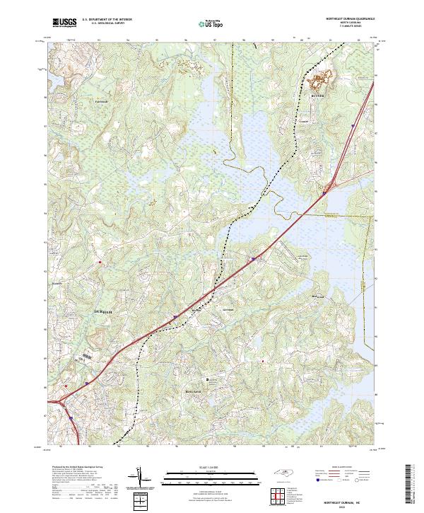
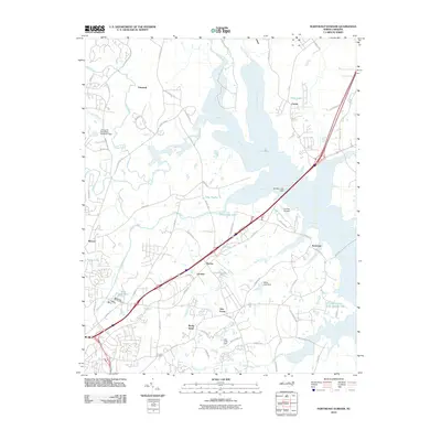
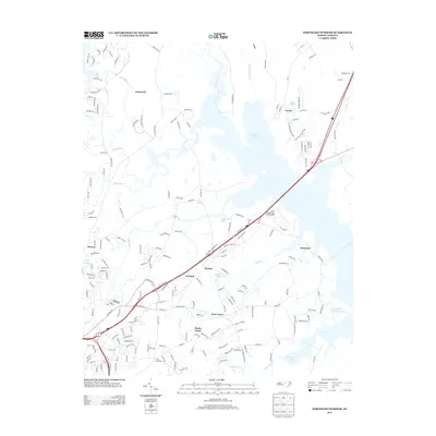
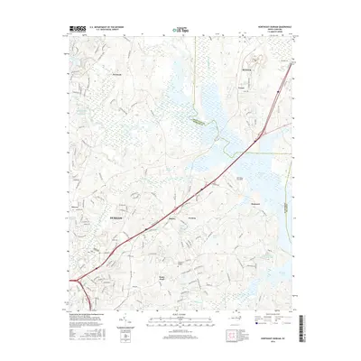
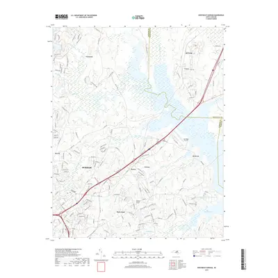
2022 Map of Northeast Durham
USGS Topo · Published 2022About this map
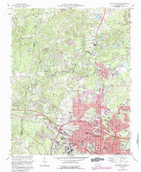
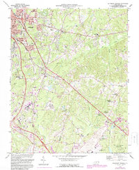
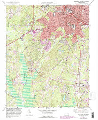
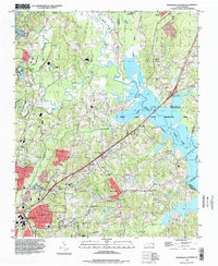
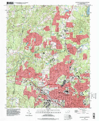
The confluence of the Flat River and the Little River defines the landscape northeast of Durham, where the waters merge to form the Eno River. This modern survey reveals a patchwork of suburban expansion and historical communities like Fairntosh and Cozart situated along the Old Oxford Rd corridor. The geography is characterized by significant man-made reservoirs and wetlands, including the sprawling Brinkley Lake and Newcombs Lake which border the community of Redwood. Industrial and recreational interests are evident in the presence of the Lake Ridge Aero Park and the lakeside grounds of Camp Kanata. Transport routes such as the I-85 Service Rd and various local thoroughfares like Vintage Hill Pkwy illustrate the modern development footprint between the established settlements of Gorman and Burton, while Oak Grove Memorial Gardens provides a point of genealogical interest for local researchers.
Find a feature on this map
159 named features on this map. Tap any name to fly to it.
Don’t see what you’re looking for? This feature index may not catch every label — zoom into the map to look around manually.
Map Details
Editions of this 2022 Northeast Durham Map
This is the sole edition of this map. No revisions or reprints were ever made.
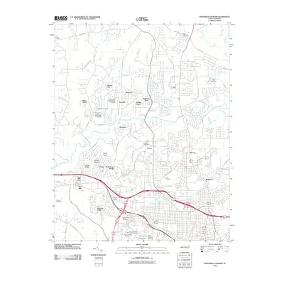
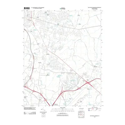
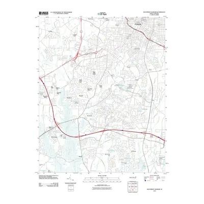
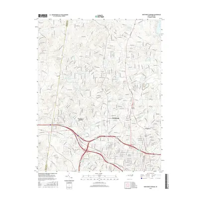
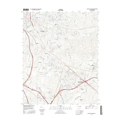
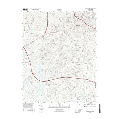
Historical Maps of Durham Through Time
32 maps found

1943 Durham South
Durham County, NC
1951 Durham North
Durham County, NC
1951 Durham South
Durham County, NC
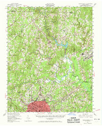
1973 Northeast Durham
Durham County, NC
1973 Northwest Durham
Durham County, NC
1973 Southeast Durham
Durham County, NC
1973 Southwest Durham
Durham County, NC
1993 Northeast Durham
Durham County, NC
1993 Northwest Durham
Durham County, NC
1993 Southeast Durham
Durham County, NC
1993 Southwest Durham
Durham County, NC
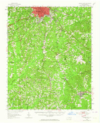
1999 Northeast Durham
Durham County, NC
2010 Northeast Durham
Durham County, NC
2010 Northwest Durham
Durham County, NC
2010 Southeast Durham
Durham County, NC
2010 Southwest Durham
Durham County, NC
2013 Northeast Durham
Durham County, NC
2013 Northwest Durham
Durham County, NC
2013 Southeast Durham
Durham County, NC
2013 Southwest Durham
Durham County, NC
2016 Northeast Durham
Durham County, NC
2016 Northwest Durham
Durham County, NC
2016 Southeast Durham
Durham County, NC
2016 Southwest Durham
Durham County, NC
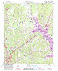
2019 Northeast Durham
Durham County, NC
2019 Northwest Durham
Durham County, NC
2019 Southeast Durham
Durham County, NC
2019 Southwest Durham
Durham County, NC
2022 Northeast Durham
Durham County, NC
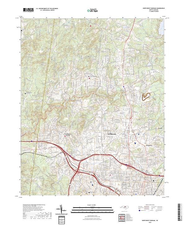
2022 Northwest Durham
Durham County, NC
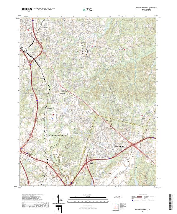
2022 Southeast Durham
Durham County, NC
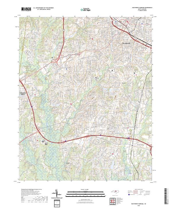
2022 Southwest Durham
Durham County, NC