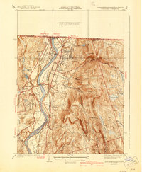
1941 Map of Northfield
USGS Topo · Published 1941About this map
The Connecticut River serves as the central artery of this 1941 edition, carving a deep valley through the northern borderlands where Massachusetts meets Vermont and New Hampshire. The landscape is defined by its transition from fertile lowlands like Pauchaug Meadow and Beers Plain to the prominent heights of North Mtn and Crag Mtn. This period captures a highly developed educational and transit hub, centered on Northfield and the Mt Hermon School campus. Transportation networks are particularly dense, showing the Boston and Maine Railroad and Central Vermont Railway following the river banks, connected by significant river crossings including the Schell Bridge and Bennett Meadow Bridge. Local landmarks such as Dickinson Hall and the CCC Camp reflect the institutional presence in the area during the early 1940s.
Find a feature on this map
71 named features on this map. Tap any name to fly to it.
Don’t see what you’re looking for? This feature index may not catch every label — zoom into the map to look around manually.
Map Details
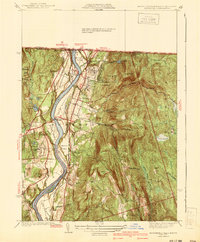
Editions of this 1941 Northfield Map
2 editions found
Other maps of this area

1887 · Warwick
USGS Topo · 1:62,500

1889 · Warwick
USGS Topo · 1:62,500

1890 · Greenfield
USGS Topo · 1:62,500

1891 · Brattleboro
USGS Topo · 1:62,500

1893 · Brattleboro
USGS Topo · 1:62,500

1894 · Greenfield
USGS Topo · 1:62,500

1894 · Warwick
USGS Topo · 1:62,500

1898 · Keene
USGS Topo · 1:62,500

1932 · Brattleboro
USGS Topo · 1:48,000

1932 · Warwick
USGS Topo · 1:48,000