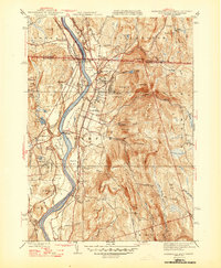
1946 Map of Northfield
USGS Topo · Published 1946About this map
The Connecticut River serves as the central artery of this 1940s landscape, flowing through a series of fertile plains and meadows like Great Meadow and Beers Plain. The era’s focus on education and institutional growth is evident in the prominent campuses of the Northfield Seminary and the Mt Hermon School, which anchored the local community. Transportation networks are highly developed, with the Boston and Maine Railroad and Central Vermont Railway paralleling the river, connected by the Schell Bridge. This industrial and educational hub is flanked by the rising elevations of Hogback Mtn and Crag Mtn, while smaller settlements such as East Northfield and South Vernon cluster around the rail lines. The map reveals a transition from the agricultural river bottomlands to the managed timber of the Northfield State Forest.
Find a feature on this map
75 named features on this map. Tap any name to fly to it.
Don’t see what you’re looking for? This feature index may not catch every label — zoom into the map to look around manually.
Map Details
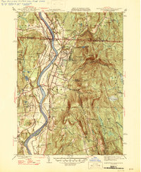
Editions of this 1946 Northfield Map
2 editions found
Other maps of this area

1887 · Warwick
USGS Topo · 1:62,500

1889 · Warwick
USGS Topo · 1:62,500

1890 · Greenfield
USGS Topo · 1:62,500

1891 · Brattleboro
USGS Topo · 1:62,500

1893 · Brattleboro
USGS Topo · 1:62,500

1894 · Greenfield
USGS Topo · 1:62,500

1894 · Warwick
USGS Topo · 1:62,500

1898 · Keene
USGS Topo · 1:62,500

1932 · Brattleboro
USGS Topo · 1:48,000

1932 · Warwick
USGS Topo · 1:48,000