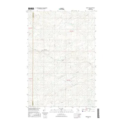
2017 Map of Northland
USGS Topo · Published 2017About this map
Northland and the nearby settlement of Reade sit within a landscape defined by the winding course of the Ford River and its various tributaries. This 2017 survey details the complex wetland and river systems of West Branch Township, where the Little W Br Escanaba River flows through the northern reaches of the quadrangle. Local genealogy and history are anchored at the Riverview Cem, located just west of the Northland town center and its Po. The map illustrates a network of rural routes, including Co Rd 426 and Ford River Rd, which connect the isolated settlements and provide access to the surrounding forest and marshlands. Smaller drainages like Tom Doe Cr and Elie Cr further carve through the terrain, indicating the hydrologic character that has likely influenced the development and layout of these Upper Peninsula communities over several generations.
Find a feature on this map
24 named features on this map. Tap any name to fly to it.
Don’t see what you’re looking for? This feature index may not catch every label — zoom into the map to look around manually.
Map Details
Editions of this 2017 Northland Map
This is the sole edition of this map. No revisions or reprints were ever made.
Other maps of this area

1932 · Helena NW
USGS Topo · 1:31,680

1932 · Helena SW
USGS Topo · 1:31,680

1951 · Helena SW
USGS Topo · 1:31,680

1951 · Helena NW
USGS Topo · 1:31,680

1954 · Escanaba
USGS Topo · 1:250,000

1956 · Foster City
USGS Topo · 1:62,500

1957 · Escanaba
USGS Topo · 1:250,000

1957 · Northland
USGS Topo · 1:62,500

1958 · Escanaba
USGS Topo · 1:250,000

1958 · Marquette
USGS Topo · 1:250,000