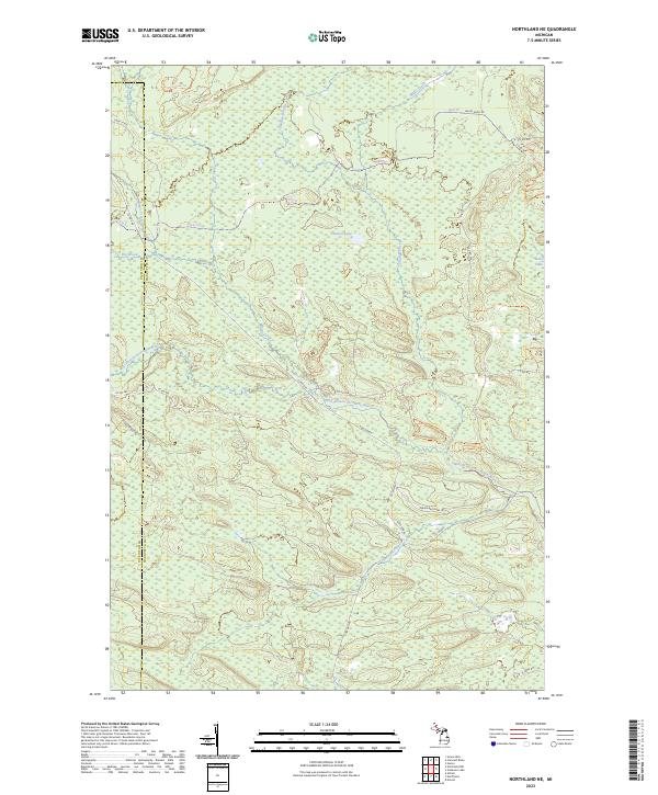
2023 Map of Northland NE
USGS Topo · Published 2023About this map
The West Branch Escanaba River meanders across this Upper Peninsula landscape, carving a drainage system defined by Big Brook, Chandler Brook, and Gleason Creek. This remote section of the Michigan wilderness sits along the boundary between Dickinson and Marquette counties, characterized by extensive wetlands and isolated water bodies like Landon Lake and Bobs Lake.
Find a feature on this map
30 named features on this map. Tap any name to fly to it.
Don’t see what you’re looking for? This feature index may not catch every label — zoom into the map to look around manually.
Map Details
Editions of this 2023 Northland NE Map
This is the sole edition of this map. No revisions or reprints were ever made.
Other maps of this area

1932 · Helena NW
USGS Topo · 1:31,680

1932 · Harvey SW
USGS Topo · 1:31,680

1932 · Helena SW
USGS Topo · 1:31,680

1951 · Helena SW
USGS Topo · 1:31,680

1951 · Helena NW
USGS Topo · 1:31,680

1952 · Ishpeming
USGS Topo · 1:62,500

1952 · Gwinn
USGS Topo · 1:62,500

1952 · Gwinn
USGS Topo · 1:24,000

1957 · Northland
USGS Topo · 1:62,500

1958 · Marquette
USGS Topo · 1:250,000
Featured Places
- West Branch Township, MI
- Forsyth Township, MI
- Tilden Township, MI
- Wells Township, MI
- Marquette County, MI