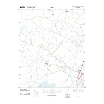
2010 Map of Northwest Goldsboro
USGS Topo · Published 2010About this map
The Neuse River and Little River converge in this low-lying landscape northwest of Goldsboro, forming a complex network of waterways that includes Buck Swamp and the man-made The Canal. At the southern edge of the map, the Quaker Neck Lake Dam regulates Quaker Neck Lake, a prominent feature in the river bend. The area is characterized by residential development and agricultural crossroads that grew around these water systems during the late twentieth century.
Find a feature on this map
56 named features on this map. Tap any name to fly to it.
Don’t see what you’re looking for? This feature index may not catch every label — zoom into the map to look around manually.
Map Details
Editions of this 2010 Northwest Goldsboro Map
This is the sole edition of this map. No revisions or reprints were ever made.
Other maps of this area

1902 · Kenly
USGS Topo · 1:62,500

1903 · Kenly
USGS Topo · 1:62,500

1904 · Wilson
USGS Topo · 1:62,500

1953 · Rocky Mount
USGS Topo · 1:250,000

1953 · Raleigh
USGS Topo · 1:250,000

1954 · Rocky Mount
USGS Topo · 1:250,000

1954 · Raleigh
USGS Topo · 1:250,000

1957 · Goldsboro
USGS Topo · 1:62,500

1974 · Grantham
USGS Topo · 1:24,000

1974 · Northwest Goldsboro
USGS Topo · 1:24,000