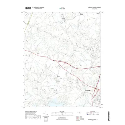
2019 Map of Northwest Goldsboro
USGS Topo · Published 2019About this map
The Neuse River and Little River converge west of the city, anchoring a landscape defined by North Carolina's coastal plain hydrology. This modern survey shows the expansion of Goldsboro toward the west, reaching into areas traditionally dominated by rural settlements like Rosewood and Pike Crossroads. The mapping includes significant water features such as Buck Swamp and The Canal, alongside smaller tributaries like Holland Br and Charles Br.
Find a feature on this map
160 named features on this map. Tap any name to fly to it.
Don’t see what you’re looking for? This feature index may not catch every label — zoom into the map to look around manually.
Map Details
Editions of this 2019 Northwest Goldsboro Map
This is the sole edition of this map. No revisions or reprints were ever made.
Other maps of this area

1902 · Kenly
USGS Topo · 1:62,500

1903 · Kenly
USGS Topo · 1:62,500

1904 · Wilson
USGS Topo · 1:62,500

1953 · Rocky Mount
USGS Topo · 1:250,000

1953 · Raleigh
USGS Topo · 1:250,000

1954 · Rocky Mount
USGS Topo · 1:250,000

1954 · Raleigh
USGS Topo · 1:250,000

1957 · Goldsboro
USGS Topo · 1:62,500

1974 · Grantham
USGS Topo · 1:24,000

1974 · Northwest Goldsboro
USGS Topo · 1:24,000