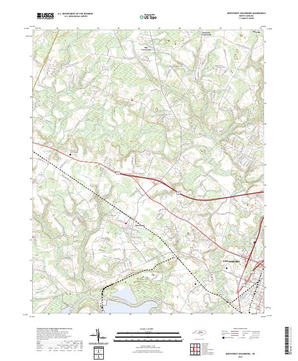
2022 Map of Northwest Goldsboro
USGS Topo · Published 2022About this map
The Neuse River and its winding tributary, the Little River, define the landscape of western Wayne County on this 2022 survey. This area northwest of Goldsboro shows the modern suburban expansion of Rosewood and Pikeville alongside established rural junctions like Pike Crossroads and Peacock Crossroads. The map highlights a complex network of local roads such as Pikeville Princeton Rd and Gurley Dairy Rd that connect family farms and residential developments to the regional hub of Goldsboro. Geologists and local historians can trace the intricate drainage patterns of smaller waterways like Beaverdam Cr and Holland Br as they feed into the larger river systems. Significant local landmarks include the Evergreen Memorial Cem and Partins Pond, which reflect the community's long-term settlement and environmental footprint.
Find a feature on this map
145 named features on this map. Tap any name to fly to it.
Don’t see what you’re looking for? This feature index may not catch every label — zoom into the map to look around manually.
Map Details
Editions of this 2022 Northwest Goldsboro Map
This is the sole edition of this map. No revisions or reprints were ever made.
Other maps of this area

1902 · Kenly
USGS Topo · 1:62,500

1903 · Kenly
USGS Topo · 1:62,500

1904 · Wilson
USGS Topo · 1:62,500

1953 · Rocky Mount
USGS Topo · 1:250,000

1953 · Raleigh
USGS Topo · 1:250,000

1954 · Rocky Mount
USGS Topo · 1:250,000

1954 · Raleigh
USGS Topo · 1:250,000

1957 · Goldsboro
USGS Topo · 1:62,500

1974 · Grantham
USGS Topo · 1:24,000

1974 · Northwest Goldsboro
USGS Topo · 1:24,000