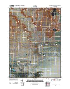
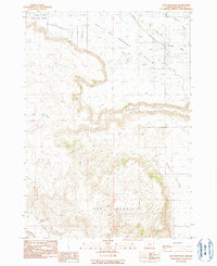
2011 Map of Northwest Harney Lake
USGS Topo · Published 2011About this map
Harney Lake and the arid lowlands of Harney Valley define this portion of the Great Basin as it appeared in the early 21st century. The landscape is marked by the careful management of water in a high-desert environment, evidenced by the Saint Clair Canal and the course of Silver Creek as they navigate toward the lake bed. This topography reflects the intersection of natural drainage and human engineering required to sustain life and agriculture in such an environment.
Find a feature on this map
11 named features on this map. Tap any name to fly to it.
Don’t see what you’re looking for? This feature index may not catch every label — zoom into the map to look around manually.
Map Details
Editions of this 2011 Northwest Harney Lake Map
This is the sole edition of this map. No revisions or reprints were ever made.
Other maps of this area

1955 · Burns
USGS Topo · 1:250,000

1958 · Burns
USGS Topo · 1:250,000

1959 · Burns
USGS Topo · 1:250,000

1959 · Dog Mountain
USGS Topo · 1:62,500
1980 · Hughet Spring
USGS Topo · 1:24,000
1980 · Southwest Harney Lake
USGS Topo · 1:24,000

1980 · Stinking Lake
USGS Topo · 1:24,000

1980 · Palomino Buttes
USGS Topo · 1:24,000
1980 · Southeast Harney Lake
USGS Topo · 1:24,000
1990 · Dog Mountain
USGS Topo · 1:24,000