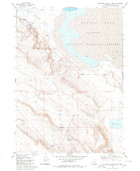
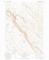
1980 Map of Southwest Harney Lake
USGS Topo · Published 1980About this map
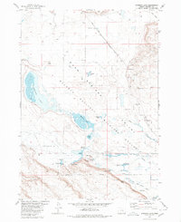
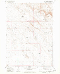
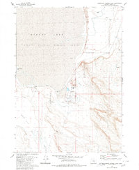
Malheur National Wildlife Refuge occupies the northeastern quadrant of this 1980 survey, where the fluctuating shoreline of Harney Lake meets the arid interior of Harney County. The landscape is defined by its scarce but vital water sources, from the Flowing Well to named points like Upper Sizemore Spring and Lower Sizemore Spring. These features supported the early ranching efforts in the High Desert, as evidenced by the presence of the Moon Ranch and the expansive Basque Flat. The distribution of resources like Soldier Spring and the Weed Lake Butte Waterhole illustrates a complex water management system necessary for survival in Warm Springs Valley. In the southeast, Weed Lake and its surrounding Weed Lake Flat provide a clear view of the basin's topography before modern shifts in land use and drainage.
Find a feature on this map
24 named features on this map. Tap any name to fly to it.
Don’t see what you’re looking for? This feature index may not catch every label — zoom into the map to look around manually.
Map Details
Editions of this 1980 Southwest Harney Lake Map
This is the sole edition of this map. No revisions or reprints were ever made.
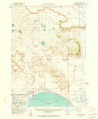
Other maps of this area

1955 · Burns
USGS Topo · 1:250,000

1958 · Burns
USGS Topo · 1:250,000

1959 · Burns
USGS Topo · 1:250,000
1959 · Dog Mountain
USGS Topo · 1:62,500
1980 · Hughet Spring
USGS Topo · 1:24,000
1980 · Meadow Lake
USGS Topo · 1:24,000
1980 · Twin Buttes
USGS Topo · 1:24,000
1980 · Stinking Lake
USGS Topo · 1:24,000
1980 · Weed Lake Butte
USGS Topo · 1:24,000
1980 · Southeast Harney Lake
USGS Topo · 1:24,000