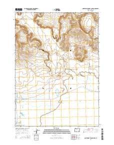
2014 Map of Northwest Harney Lake
USGS Topo · Published 2014About this map
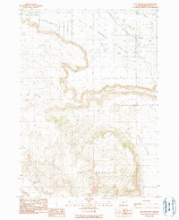
Harney Lake and the arid basins of Warm Springs Valley dominate this High Desert landscape, showing the complex hydrology of the Harney Basin. The map records the management of water through the Saint Clair Canal and Goulden Canal, essential infrastructure for ranching in this dry environment. Elevated landmarks like Freeman Butte provide topographical relief over the valley floor, while names like Beshell Grds and Oo Ranch Rd speak to the region's agricultural history. Silver Cr winds through the southwestern reaches, feeding into the terminal lake system. This survey illustrates the delicate balance of water resources and geography, from the depths of Brown Canyon to the wide expanse of Sand Hollow.
Find a feature on this map
17 named features on this map. Tap any name to fly to it.
Don’t see what you’re looking for? This feature index may not catch every label — zoom into the map to look around manually.
Map Details
Editions of this 2014 Northwest Harney Lake Map
This is the sole edition of this map. No revisions or reprints were ever made.
Other maps of this area

1955 · Burns
USGS Topo · 1:250,000

1958 · Burns
USGS Topo · 1:250,000

1959 · Burns
USGS Topo · 1:250,000

1959 · Dog Mountain
USGS Topo · 1:62,500
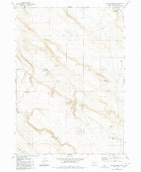
1980 · Hughet Spring
USGS Topo · 1:24,000
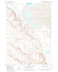
1980 · Southwest Harney Lake
USGS Topo · 1:24,000

1980 · Stinking Lake
USGS Topo · 1:24,000

1980 · Palomino Buttes
USGS Topo · 1:24,000
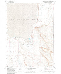
1980 · Southeast Harney Lake
USGS Topo · 1:24,000
1990 · Dog Mountain
USGS Topo · 1:24,000