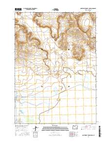
2017 Map of Northwest Harney Lake
USGS Topo · Published 2017About this map
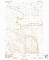
Harney Lake and its intricate drainage network dominate this high-desert landscape in Oregon. The complex hydrology of the basin is visible through the Silver Creek drainage and human-engineered water management features like the Saint Clair Canal and Goulden Canal. These waterways suggest a legacy of ranching and irrigation in the Warm Springs Valley, where local access is provided by family and ranch-named routes such as Double O Ranch Rd and Silver Sage Ranch Rd.
Find a feature on this map
20 named features on this map. Tap any name to fly to it.
Don’t see what you’re looking for? This feature index may not catch every label — zoom into the map to look around manually.
Map Details
Editions of this 2017 Northwest Harney Lake Map
This is the sole edition of this map. No revisions or reprints were ever made.
Other maps of this area

1955 · Burns
USGS Topo · 1:250,000

1958 · Burns
USGS Topo · 1:250,000

1959 · Burns
USGS Topo · 1:250,000

1959 · Dog Mountain
USGS Topo · 1:62,500
1980 · Hughet Spring
USGS Topo · 1:24,000
1980 · Southwest Harney Lake
USGS Topo · 1:24,000

1980 · Stinking Lake
USGS Topo · 1:24,000

1980 · Palomino Buttes
USGS Topo · 1:24,000
1980 · Southeast Harney Lake
USGS Topo · 1:24,000
1990 · Dog Mountain
USGS Topo · 1:24,000