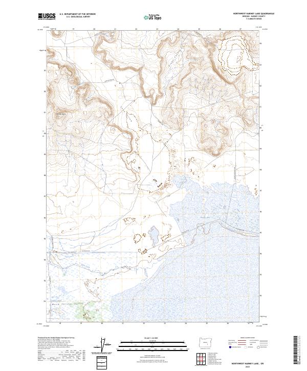
2023 Map of Northwest Harney Lake
USGS Topo · Published 2023About this map
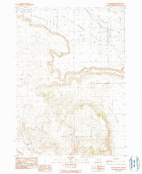
Malheur National Wildlife Refuge anchors the southern landscape of this high desert terrain, where the marshy transition to the expansive Harney Lake basin begins. This environment is defined by the managed flow of water through the Saint Clair Canal and Goulden Canal, critical infrastructure for navigating the arid Warm Springs Valley. In the north, the elevation shifts dramatically toward Freeman Butte and the winding descents of Brown Canyon and Sand Hollow. The presence of several ranch roads, including Oo Ranch Rd and Double O Ranch Rd, indicates the long-standing agricultural and ranching footprint in this corner of Harney County. The topography suggests a complex relationship between the seasonal flows of Silver Creek and the surrounding alkaline flats, a pattern typical of Oregon's internal drainage basins.
Find a feature on this map
22 named features on this map. Tap any name to fly to it.
Don’t see what you’re looking for? This feature index may not catch every label — zoom into the map to look around manually.
Map Details
Editions of this 2023 Northwest Harney Lake Map
This is the sole edition of this map. No revisions or reprints were ever made.
Other maps of this area

1955 · Burns
USGS Topo · 1:250,000

1958 · Burns
USGS Topo · 1:250,000

1959 · Burns
USGS Topo · 1:250,000

1959 · Dog Mountain
USGS Topo · 1:62,500
1980 · Hughet Spring
USGS Topo · 1:24,000
1980 · Southwest Harney Lake
USGS Topo · 1:24,000

1980 · Stinking Lake
USGS Topo · 1:24,000

1980 · Palomino Buttes
USGS Topo · 1:24,000
1980 · Southeast Harney Lake
USGS Topo · 1:24,000
1990 · Dog Mountain
USGS Topo · 1:24,000