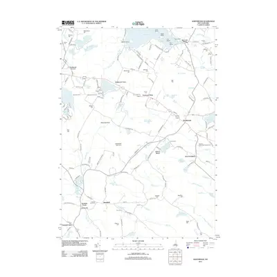
2012 Map of Northwood
USGS Topo · Published 2012About this map
Bow Lake anchors the northern landscape of this region, its waters dotted with several named islands including Bennett Island and Loon Island. The settlement pattern follows the corridor of established routes through Northwood Narrows, Northwood Center, and Northwood Ridge, illustrating the historical development of these lakeside and hillside communities. To the south, the village of Deerfield Parade and nearby James City mark the shift toward the drainage of the Lamprey River and Back Cr.
Find a feature on this map
148 named features on this map. Tap any name to fly to it.
Don’t see what you’re looking for? This feature index may not catch every label — zoom into the map to look around manually.
Map Details
Editions of this 2012 Northwood Map
This is the sole edition of this map. No revisions or reprints were ever made.
Other maps of this area

1917 · Mt. Pawtuckaway
USGS Topo · 1:62,500

1919 · Mt. Pawtuckaway
USGS Topo · 1:62,500

1919 · Gilmanton
USGS Topo · 1:62,500

1919 · Alton
USGS Topo · 1:62,500

1921 · Suncook
USGS Topo · 1:62,500

1927 · Gilmanton
USGS Topo · 1:62,500

1939 · Mt. Pawtuckaway
USGS Topo · 1:62,500

1944 · Mt. Pawtuckaway
USGS Topo · 1:62,500

1944 · Suncook
USGS Topo · 1:62,500

1949 · Portland
USGS Topo · 1:250,000