
1919 Map of Mt. Pawtuckaway
USGS Topo · Published 1919About this map
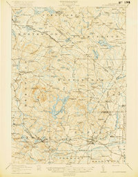
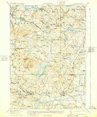
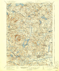
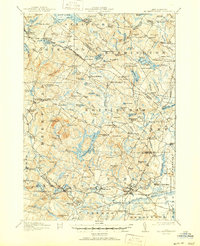
Mountain Pawtuckaway dominates the landscape of southeastern New Hampshire in this 1917 survey, anchoring a region of complex glacial terrain and upland water bodies. The settlement pattern reflects the traditional New England village structure, with established centers like Deerfield Parade, Nottingham Square, and Strafford P.O. Bow Lake Village serving as social hubs. The industrial and transportation corridor follows the Boston and Maine Railroad through Raymond and Epping, where the Portsmouth and Concord divisions intersect. Education is decentralized across numerous rural district schools, such as the Winkley School and Hale School, which provided local instruction long before school consolidation. The map traces the winding course of the Isinglass River and identifies significant community landmarks like the County Farm and religious gathering spots including Hedding and Camp Hedding.
Find a feature on this map
147 named features on this map. Tap any name to fly to it.
Don’t see what you’re looking for? This feature index may not catch every label — zoom into the map to look around manually.
Map Details
Editions of this 1919 Mt. Pawtuckaway Map
5 editions found
Other maps of this area

1888 · Newburyport
USGS Topo · 1:62,500

1888 · Haverhill
USGS Topo · 1:62,500

1890 · Haverhill
USGS Topo · 1:62,500

1890 · Newburyport
USGS Topo · 1:62,500

1891 · Berwick
USGS Topo · 1:62,500

1893 · Dover
USGS Topo · 1:62,500

1893 · Berwick
USGS Topo · 1:62,500

1893 · Haverhill
USGS Topo · 1:62,500

1894 · Newburyport
USGS Topo · 1:62,500

1905 · Manchester
USGS Topo · 1:62,500