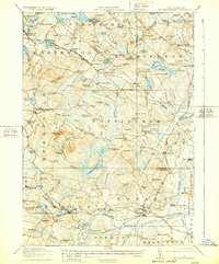
1919 Map of Mt. Pawtuckaway
USGS Topo · Published 1932About this map
Mount Pawtuckaway and its surrounding peaks dominate the central landscape of this Rockingham County study, conducted just after the First World War. The region is characterized by a dense network of small rural schoolhouses, such as Hale School and Winkley School, which speak to the decentralized community structure of the early 20th century. Major transit corridors are defined by the Boston and Maine Railroad, which connects industrial and residential hubs like Epping and Raymond. Notable local landmarks include the Strafford PO and the unique riverside setting of Wadley Falls. The map also documents the localized social centers of the era, from the established Nottingham Square to seasonal gathering spots like Camp Hedding and Camp Crossing. A complex hydrology of small ponds and brooks, including the curiously named Bumfagging Pond, flows through these wooded New Hampshire uplands.
Find a feature on this map
168 named features on this map. Tap any name to fly to it.
Don’t see what you’re looking for? This feature index may not catch every label — zoom into the map to look around manually.
Map Details
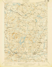
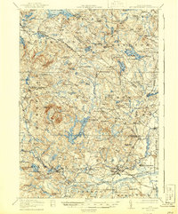
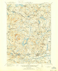
Editions of this 1919 Mt. Pawtuckaway Map
5 editions found

Other maps of this area

1888 · Newburyport
USGS Topo · 1:62,500

1888 · Haverhill
USGS Topo · 1:62,500

1890 · Haverhill
USGS Topo · 1:62,500

1890 · Newburyport
USGS Topo · 1:62,500

1891 · Berwick
USGS Topo · 1:62,500

1893 · Dover
USGS Topo · 1:62,500

1893 · Berwick
USGS Topo · 1:62,500

1893 · Haverhill
USGS Topo · 1:62,500

1894 · Newburyport
USGS Topo · 1:62,500

1905 · Manchester
USGS Topo · 1:62,500