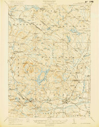
1919 Map of Mt. Pawtuckaway
USGS Topo · Published 1919About this map
Nottingham Square and the surrounding townships of Rockingham and Strafford counties reveal a landscape defined by 19th-century upland farming and early industrial water power. This 1917 survey captures the eastern New Hampshire interior before modern reforestation, where a dense network of schoolhouses like the Poor Farm School and Whittier School served small rural communities. The southern extent is dominated by the Lamprey River corridor, where the Boston and Maine Railroad connects the industrial hubs of Raymond, Epping, and Lee Station.
Find a feature on this map
170 named features on this map. Tap any name to fly to it.
Don’t see what you’re looking for? This feature index may not catch every label — zoom into the map to look around manually.
Map Details
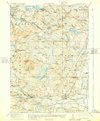
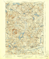
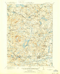
Editions of this 1919 Mt. Pawtuckaway Map
5 editions found

Other maps of this area

1888 · Newburyport
USGS Topo · 1:62,500

1888 · Haverhill
USGS Topo · 1:62,500

1890 · Haverhill
USGS Topo · 1:62,500

1890 · Newburyport
USGS Topo · 1:62,500

1891 · Berwick
USGS Topo · 1:62,500

1893 · Dover
USGS Topo · 1:62,500

1893 · Berwick
USGS Topo · 1:62,500

1893 · Haverhill
USGS Topo · 1:62,500

1894 · Newburyport
USGS Topo · 1:62,500

1905 · Manchester
USGS Topo · 1:62,500