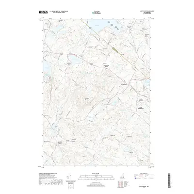
2018 Map of Northwood
USGS Topo · Published 2018About this map
Bow Lake dominates the northern landscape of this region, its waters dotted with family-named islands like Beech Island and Pine Island. The village of Bow Lake Village sits on the northeastern shore, serving as a focal point for a landscape defined by prominent ridges and hills, including Caverly Hill and Saddleback Mtn. This area has long been a crossroads, with the First New Hampshire Tpke and the Old Turnpike Rd cutting through the terrain, connecting settlements such as Northwood Ridge and Northwood Center.
Find a feature on this map
74 named features on this map. Tap any name to fly to it.
Don’t see what you’re looking for? This feature index may not catch every label — zoom into the map to look around manually.
Map Details
Editions of this 2018 Northwood Map
This is the sole edition of this map. No revisions or reprints were ever made.
Other maps of this area

1917 · Mt. Pawtuckaway
USGS Topo · 1:62,500

1919 · Mt. Pawtuckaway
USGS Topo · 1:62,500

1919 · Gilmanton
USGS Topo · 1:62,500

1919 · Alton
USGS Topo · 1:62,500

1921 · Suncook
USGS Topo · 1:62,500

1927 · Gilmanton
USGS Topo · 1:62,500

1939 · Mt. Pawtuckaway
USGS Topo · 1:62,500

1944 · Mt. Pawtuckaway
USGS Topo · 1:62,500

1944 · Suncook
USGS Topo · 1:62,500

1949 · Portland
USGS Topo · 1:250,000