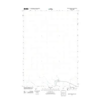
2012 Map of Norton Pond OE N
USGS Topo · Published 2012About this map
The settlement of Norton occupies a critical corner of this borderland landscape, situated where the Coaticook River flows through the valley floor. As a 2012 survey, the map shows the modern road network connecting this remote northern outpost, including Church Hill Rd and Baumann Rd. The hydrography is dominated by the winding paths of Mosher Meadow Brook and Black Turn Brook, which feed into the primary river system near the local Post Office. This specific map focuses on the rural northern reaches near the Vermont-Quebec boundary, capturing the sparse development and natural drainage patterns that define the region's geography at the start of the 21st century.
Find a feature on this map
8 named features on this map. Tap any name to fly to it.
Don’t see what you’re looking for? This feature index may not catch every label — zoom into the map to look around manually.
Map Details
Editions of this 2012 Norton Pond OE N Map
This is the sole edition of this map. No revisions or reprints were ever made.
Other maps of this area

1924 · Island Pond
USGS Topo · 1:48,000

1926 · Island Pond
USGS Topo · 1:62,500

1929 · Averill
USGS Topo · 1:62,500

1949 · Jackman
USGS Topo · 1:250,000

1950 · Lewiston
USGS Topo · 1:250,000

1953 · Island Pond
USGS Topo · 1:62,500

1953 · Averill
USGS Topo · 1:62,500

1956 · Lewiston
USGS Topo · 1:250,000

1961 · Lewiston
USGS Topo · 1:250,000

1962 · Lewiston
USGS Topo · 1:250,000