2018 Map of Norton Pond OE N
USGS Topo · Published 2018About this map
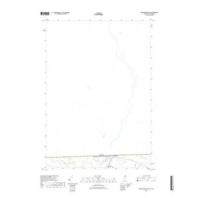
The international border defines the southern edge of this map, where the settlement of Norton serves as a small gateway between Vermont and Quebec. This high-latitude landscape is dominated by the meandering course of the Coaticook River, which flows northward into Canada, fed by local tributaries such as Black Turn Brook and Mosher Meadow Brook. The terrain transition is marked by a handful of rural routes, including Church Hill Rd, which leads toward the local landmark of Saint Bernards Cem. Much of the northern portion of the map displays the undeveloped drainage patterns typical of this borderland region, while Averill Cr cuts through the southeastern corner near the wooded slopes that overlook the village.
Find a feature on this map
10 named features on this map. Tap any name to fly to it.
Don’t see what you’re looking for? This feature index may not catch every label — zoom into the map to look around manually.
Map Details
Editions of this 2018 Norton Pond OE N Map
This is the sole edition of this map. No revisions or reprints were ever made.
Other maps of this area

1924 · Island Pond
USGS Topo · 1:48,000

1926 · Island Pond
USGS Topo · 1:62,500

1929 · Averill
USGS Topo · 1:62,500

1949 · Jackman
USGS Topo · 1:250,000

1950 · Lewiston
USGS Topo · 1:250,000

1953 · Island Pond
USGS Topo · 1:62,500

1953 · Averill
USGS Topo · 1:62,500

1956 · Lewiston
USGS Topo · 1:250,000

1961 · Lewiston
USGS Topo · 1:250,000

1962 · Lewiston
USGS Topo · 1:250,000