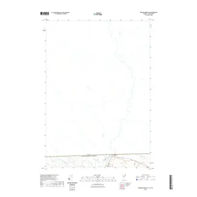
2021 Map of Norton Pond OE N
USGS Topo · Published 2021About this map
The international border between the United States and Canada defines the character of this northern landscape, where the town of Norton serves as a small but vital point of contact. The Coaticook River winds its way across the boundary, carving through the terrain alongside Averill Cr and Black Turn Brook. This modern survey illustrates the proximity of northern Essex County to its Quebec neighbors, focusing on the remote waterways and drainage patterns like Mosher Meadow Brook that shape the local geography.
Find a feature on this map
9 named features on this map. Tap any name to fly to it.
Don’t see what you’re looking for? This feature index may not catch every label — zoom into the map to look around manually.
Map Details
Editions of this 2021 Norton Pond OE N Map
This is the sole edition of this map. No revisions or reprints were ever made.
Other maps of this area

1924 · Island Pond
USGS Topo · 1:48,000

1926 · Island Pond
USGS Topo · 1:62,500

1929 · Averill
USGS Topo · 1:62,500

1949 · Jackman
USGS Topo · 1:250,000

1950 · Lewiston
USGS Topo · 1:250,000

1953 · Island Pond
USGS Topo · 1:62,500

1953 · Averill
USGS Topo · 1:62,500

1956 · Lewiston
USGS Topo · 1:250,000

1961 · Lewiston
USGS Topo · 1:250,000

1962 · Lewiston
USGS Topo · 1:250,000